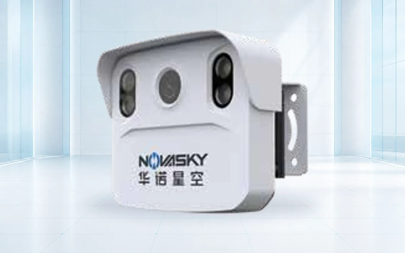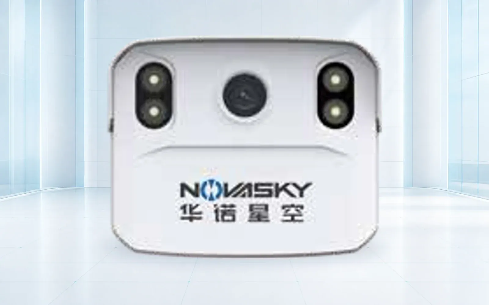
A road traffic counter should be purchased for a defined data product, site, duration, error tolerance, and maintenance model. Radar, video, pneumatic tubes, loops, piezo sensors, and manual review observe different features and fail differently, so no technology is universally most accurate.
Table of Contents
Define the Traffic Data Product
State whether the program needs volume, lane, direction, speed, headway, occupancy, length, axle-based class, body class, turning movement, pedestrian or micromobility counts, weight, individual records, or summarized intervals. Specify class scheme, interval, time zone, timestamp, file format, metadata, retention, and intended calculation such as AADT.
Define allowable error by measure and operating condition. “95% accurate” is incomplete: a system can count total volume well while confusing heavy-vehicle classes, missing motorcycles, assigning the wrong lane, or failing in stop-and-go traffic. Require a confusion matrix and error distribution where classification matters.
The FHWA Traffic Monitoring Guide collection chapter distinguishes automatic and manual methods, temporary and continuous equipment, intrusive and non-intrusive sensors, and the components of a complete monitoring site. Use that vocabulary in the specification.
Choose Temporary or Continuous Monitoring
Temporary counters support coverage counts, studies, project design, before-and-after work, and rapid deployments. They favor portability and short installation but require scheduling, safe placement, retrieval, clock/data control, and adjustment for temporal patterns.
Continuous count stations support seasonal factors, trends, performance management, operations, and recurring reporting. They require durable installation, power, communications, cabinets or mounts, remote health, maintenance access, calibration, cybersecurity, and long-term data governance.
FHWA’s traffic-data methodology guidance says vehicle-classification counts should generally be at least 48 continuous hours and that longer periods help characterize day-of-week variation. The governing program should decide duration and factoring; a counter does not make a short sample representative automatically.
Compare Sensor Technologies by Failure Mode
Pneumatic tubes are portable, mature, and relatively low cost for axle detection, speed, and classification in suitable free-flow conditions. They can be affected by heavy or stop-and-go traffic, installation, lane position, weather, wear, vandalism, and safety or traffic-control needs.
Inductive loops, piezoelectric and other in-road sensors provide mature presence, axle, classification, or weight functions depending on configuration. They require pavement work, lane closure, correct geometry, and maintenance. Video can support multi-lane and rich classification but depends on camera view, occlusion, lighting, weather, lens condition, privacy, and algorithm behavior.
When the technology decision has narrowed specifically to radar, move to the traffic radar sensor guide for zones, mounting, stopped-target behavior, interfaces and commissioning. This article remains technology-neutral and owns the program-level data product and comparison across counter types.
Radar/microwave sensors are non-intrusive and can provide count, speed, lane, presence, and length-based classification depending on the unit and geometry. They still require careful aim, setback, height, lane mapping, multipath and occlusion analysis, and representative congested testing.
| Technology | Common strength | Main limitation to test | Suitable ground truth |
|---|---|---|---|
| Pneumatic tubes | Portable axle count, speed and class | Stop-and-go, lane placement, wear and weather | Synchronized video/manual axle review |
| Inductive loop | Mature continuous presence/count | Pavement cut, maintenance and limited axle data alone | Manual/video lane count and diagnostics |
| Piezo/axle sensor | Axle class and WIM combinations | Installation, temperature and slow traffic | Controlled vehicles and certified reference where needed |
| Video analytics | Rich multi-lane and body/movement data | Occlusion, light, weather, lens and privacy | Stratified human-reviewed sample |
| Side-fire radar | Non-intrusive count, speed and length class | Lane assignment, congestion, geometry and multipath | Stratified synchronized video/manual sample |
Design the Complete Roadside System
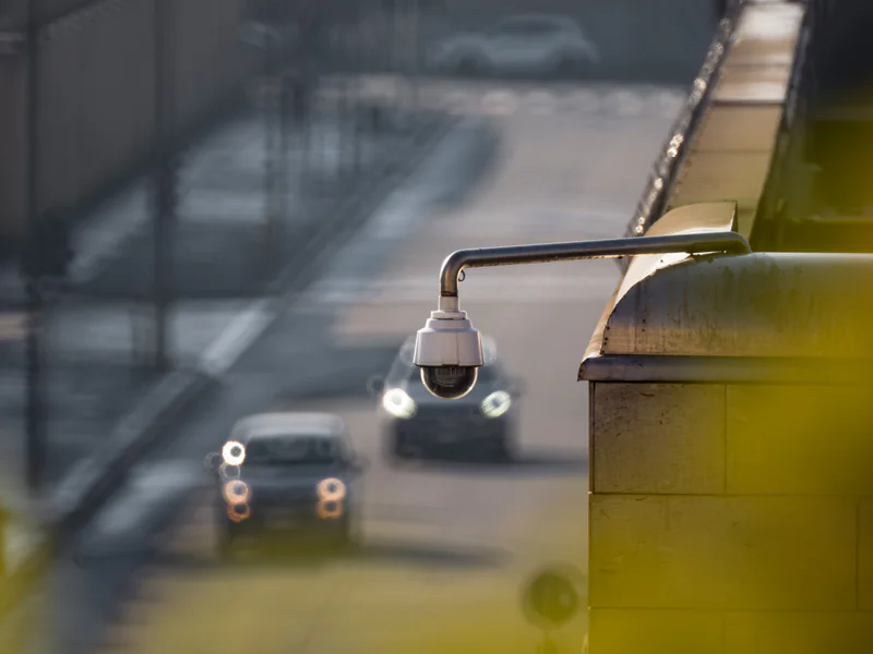
Specify sensor locations, poles or gantries, road cuts, cabinets, foundations, power, solar and battery where used, surge/lightning protection, communications, clocks, edge compute, storage, environmental control, traffic control, permits, and maintenance access. Include restoration and utility coordination.
For wireless or cloud systems, define coverage, buffering, encryption, authentication, device identity, roles, updates, API, export, monitoring, and data ownership. Ensure the system preserves records through network loss and reports its own degraded state.
For video, define field of view, mask, resolution at target, frame rate, retention, privacy processing, access, and public-records requirements. For any technology, align data retention with the program purpose instead of storing individual records indefinitely by default.
The TRVF-8221-SCO traffic flow detector and TRVF-8221 radar-video sensor can be evaluated for non-intrusive deployments. Confirm the exact data fields, class scheme, interfaces, site geometry, and acceptance evidence for the delivered configuration.
Specify QA, Calibration, and Data Delivery
Write field checks for sensor condition, aim or alignment, lane map, clock, power, communications, storage, and sample records. Define commissioning calibration, routine validation, maintenance, change detection, and recalibration triggers after paving, lane shifts, vegetation, construction, pole movement, firmware, or algorithm updates.
FHWA’s traffic data formats chapter recommends at least annual calibration, potentially more often depending on site, sensors, equipment, and array. Contract the calibration records and corrective workflow, not just an annual checkbox.
Deliver raw or individual records where appropriate, interval summaries, class codes, device status, missing-data flags, edits, calibration, site metadata, lane definitions, software version, and quality statistics. Preserve an audit trail when data are imputed, corrected, or excluded.
Normalize Procurement and Lifecycle Cost
Require bidders to price the same accepted output, not simply one roadside sensor:
| Commercial denominator | Include | Do not count as accepted until |
|---|---|---|
| Temporary study deployment | Equipment, traffic control, setup/retrieval, power, consumables and data reduction | Complete files and QA report pass the defined sample |
| Continuous monitoring site | Civil works, sensor, cabinet, power, communications, integration and commissioning | Required classes/measures pass by lane and condition |
| Accepted data year | Availability, validation, maintenance, connectivity, hosting and support | Missing-data and correction rules are met |
| Added lane/site | Hardware plus design, permits, installation, configuration and retest | It is included in health monitoring and export |
Ask for unit rates against these denominators and model traffic-control or pavement-access risk separately. That exposes bids whose equipment price is low but whose installation or data-reduction obligation is incomplete.
Give bidders a site inventory, data schema, volumes, speeds, lane geometry, congestion, weather, installation constraints, power/network, privacy requirements, support period, and acceptance sample. Require compliant/partial/noncompliant responses with evidence.
Price sensor, mounts, civil work, cabinet, power, communications, edge or cloud compute, licenses, integration, traffic control, permits, installation, calibration, training, spares, maintenance, data plan, support, and replacement. Temporary equipment also needs transport, setup, retrieval, battery, tubes or consumables, and data reduction.
The radar-video traffic architecture guide addresses fusion and intersection operations. This article owns program-level counting and data procurement; link them only where one system genuinely serves both purposes.
Validate With Stratified Ground Truth
Build a sample across lanes, directions, vehicle classes, motorcycles, closely spaced vehicles, congestion, free flow, day, night, glare, rain or snow where relevant, and clean periods. Use synchronized video or a controlled manual method with reviewer QA as appropriate. Do not validate only during a short, easy midday period.
Score count error, lane and direction assignment, speed error, classification confusion, missed and duplicate detections, timestamp alignment, missing data, availability, communications recovery, export, and operator workload. Report by condition and class, with confidence intervals where the program requires them.
Test installation and sustainment as well as algorithms: safe deployment, clock drift, power loss, network loss, full storage, dirty lens, shifted tube or sensor, software update, replacement device, and recalibration. Record the validated envelope and retest triggers.
Review the smart transportation portfolio, smart city transportation solution, and technical resources, then contact OMNI UXV with the data schema, sites, durations, traffic conditions, infrastructure constraints, and ground-truth protocol.
FAQs
Which road traffic counter is most accurate?
Accuracy depends on the required measure, site geometry, traffic behavior, installation, weather, classification scheme, calibration, and maintenance. Validate the shortlisted technology against representative ground truth.
Can a road traffic counter classify vehicles?
Yes, when the sensor and algorithm support the required axle-, length-, or body-based classes. Buyers should specify the class scheme and confusion matrix rather than asking only for overall accuracy.
Are radar traffic counters affected by weather?
Radar is generally less sensitive to illumination than video, but installation geometry, multipath, occlusion, lane assignment, congestion, precipitation, and algorithm design can still affect results.
How long should a temporary traffic count run?
Duration should follow the program and decision. FHWA guidance states that vehicle classification counts should generally collect at least 48 continuous hours, with longer counts useful for day-of-week variation.