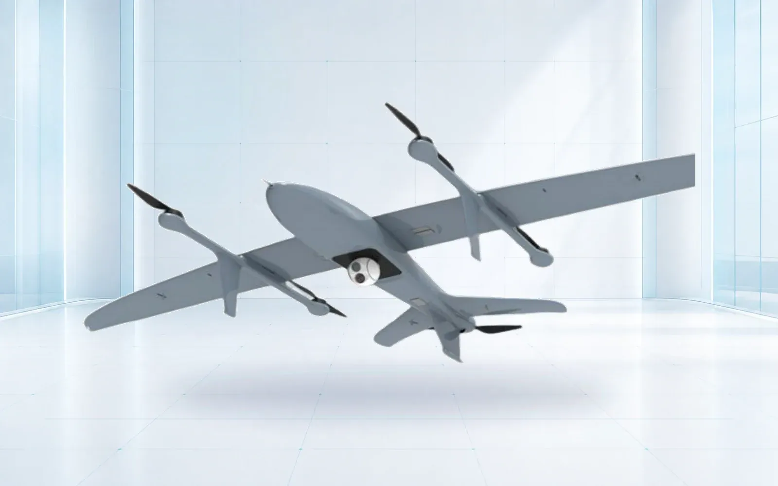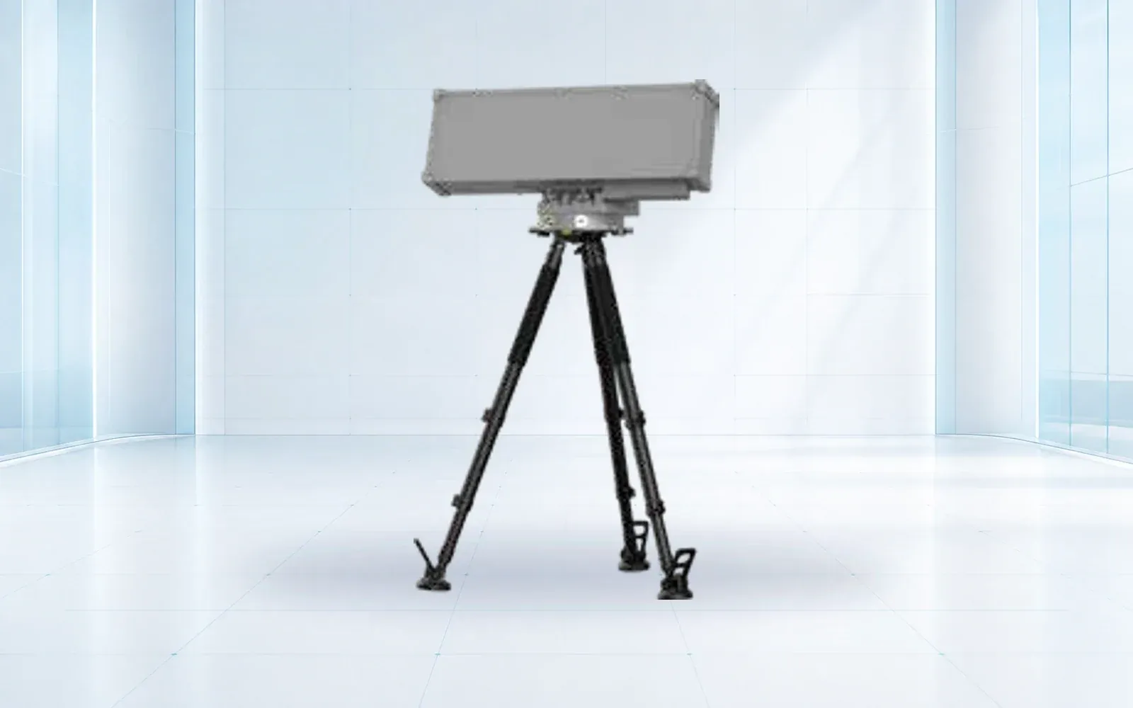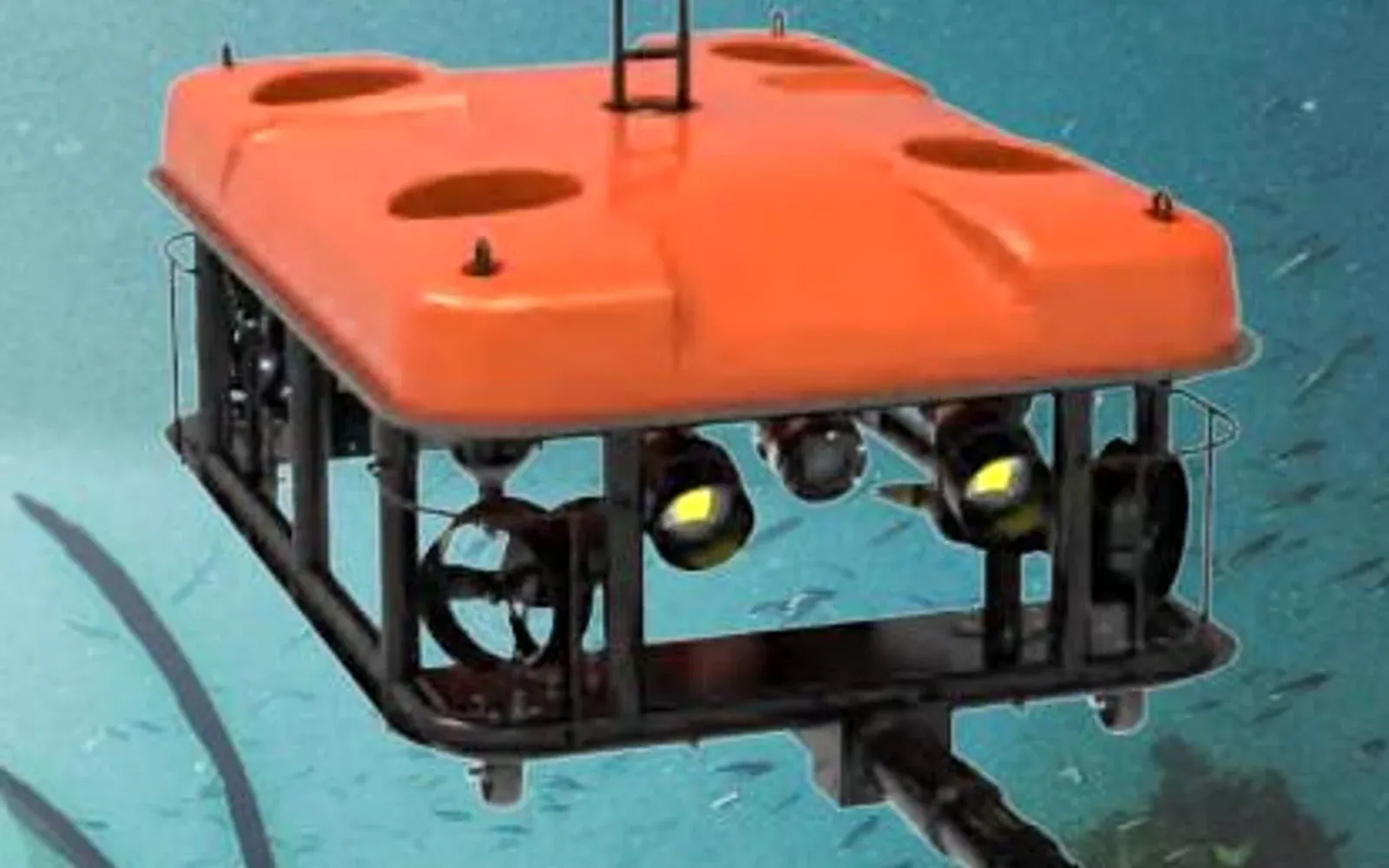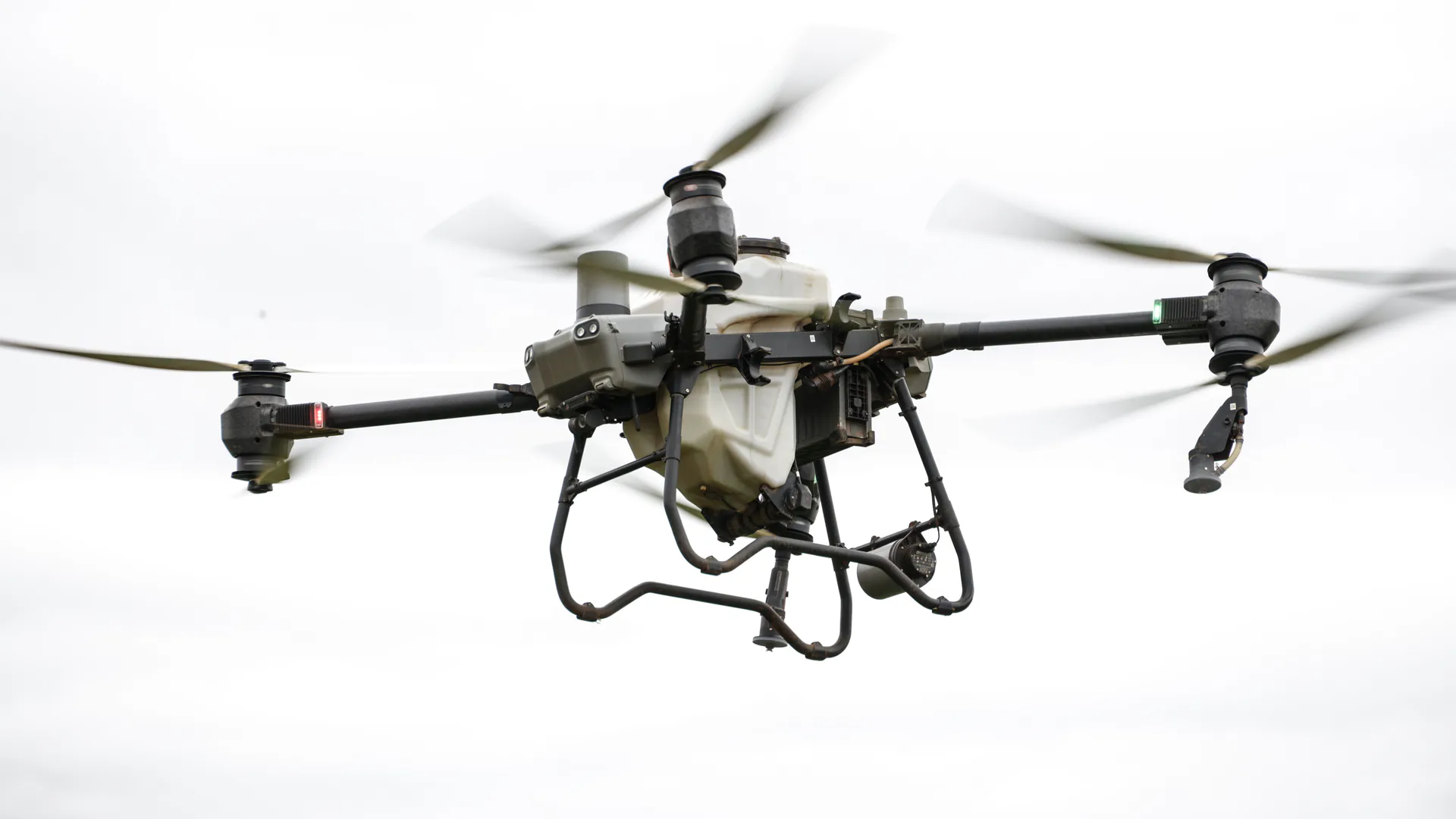
Unmanned technology selection starts with the evidence or action a mission needs, not with a vehicle acronym. UAVs, underwater vehicles, monitoring radar, counter-UAS sensors and command platforms belong to different system layers; this map shows where each fits and how to avoid buying a platform that cannot complete the operational workflow.
Table of Contents
Separate the Vehicle From the System
A UAV, UGV, USV or UUV is a carrier. The operational system also includes payloads, navigation, communications, control software, data processing, launch and recovery equipment, operators and the organization that acts on the result.
This distinction prevents category errors. A counter-UAS radar detects an aircraft but is not itself a UXV. Deformation radar monitors movement without carrying a payload through the environment. A security platform correlates tracks and alarms but does not produce the original observation. All can participate in the same program while owning different requirements.
The mission statement should therefore describe an output: locate a leak, measure displacement, classify an underwater contact, deliver a payload, or create an evidence-grade track. Platform selection follows that output.
A Mission-to-Technology Map
| Mission output | Primary technology | Supporting layer | Acceptance evidence |
|---|---|---|---|
| Wide-area aerial survey | Fixed-wing or VTOL UAV | Mapping payload and processing | Covered area, ground sample distance, position error |
| Close inspection or lift | Multirotor UAV | Stabilized payload or lifting system | Standoff, endurance at payload, image or delivery result |
| Underwater search | Side-scan or imaging sonar | Surface vessel, AUV or ROV carrier | Coverage, target resolution, georeferencing |
| Underwater intervention | Work-class ROV | Manipulator, tether and launch system | Task completion in depth and current |
| Unauthorized-drone awareness | Radar, RF and EO/IR | Command platform and response workflow | Detection probability, nuisance alarms, verified track |
| Structural movement warning | Deformation-monitoring radar or point sensors | Survey control and alarm workflow | Displacement uncertainty, update rate, alarm test |
| Obscured-person search | Life-detection radar and other rescue sensors | Search plan and rescue team | Detection performance against defined scenarios |
| Cross-system coordination | Security command platform | Interfaces and operating procedures | Event correlation, audit trail and recovery |
The table deliberately mixes vehicles and non-vehicle technologies because buyers often need a system, not a single UXV. It also keeps their roles explicit.
Use Environment to Eliminate Options Early
Airspace, water depth, current, terrain, dust, temperature, electromagnetic congestion and communications coverage can eliminate an otherwise attractive platform before price comparison.
For aerial work, wind, precipitation, takeoff area and aviation authority determine whether a multirotor or VTOL aircraft is practical. Underwater work adds visibility, salinity, tether drag, launch conditions and acoustic positioning. Ground and fixed monitoring systems depend on line of sight, stable mounting, power and a reference frame that survives the monitoring period.

Survey the environment before building the shortlist. A datasheet maximum is useful only after the project has defined the conditions in which that maximum must be approached.
Design the Handoffs Between Domains
Multi-domain systems make sense when each asset shortens or improves a stage of the workflow. In port inspection, a UAV can document above-water assets, side-scan sonar can search broad seabed areas, and a work-class ROV can revisit selected contacts. The handoff is the contact coordinate and confidence record—not a verbal request to “look near the pier.”
The same principle applies to critical-site security. Radar and RF sensors create a track, EO/IR provides context, and the command layer presents an authorized response team with one incident. The critical-infrastructure protection architecture is useful only when its interfaces, clocks and ownership are specified.
For every handoff define data identity, coordinate reference, timestamp, uncertainty, file format and the person or system responsible for accepting the next task.
Regulatory and Supply Boundaries
Airworthiness and operational approval vary by aircraft weight, mission and jurisdiction. Radio links, radar and active countermeasures introduce spectrum requirements. Sonar operation, hydrographic work and underwater intervention may require port, environmental or client approvals. Export classification can depend on performance, payload, autonomy, destination and end use.
Treat compliance as configuration data. The same airframe with a different thermal payload, encrypted link or autonomous function may require a different review. Ask suppliers for model-specific source documents and identify who owns permits, licensing, customs and end-use checks before the order.
The compliance library provides a place to organize these records, but local authority and qualified counsel determine the final path.
Compare Total Mission Cost
Purchase price hides the costs that distinguish platforms: mobilization, launch equipment, battery or fuel logistics, crew size, training, data processing, software, maintenance, spares and the cost of repeating an incomplete mission.
Use a mission-cost model with three denominators:
- cost per accepted area, asset or intervention;
- operator hours per accepted result;
- expected rework when conditions or data quality fall outside tolerance.
This makes a larger system defensible when it removes vessel days or repeat access, and exposes an oversized platform when a simpler sensor can produce the same decision.
A Procurement Sequence That Preserves Choice
Write the mission output and environmental envelope first. Then select the technology family, define interfaces and evidence, and invite product configurations only after the acceptance protocol exists. Keep at least one alternative architecture until the site trial shows which risk dominates.
The final decision record should state why each vehicle, payload and software layer is present and what happens when it fails. Buyers can use the product portfolio to compare current categories and the resource library to prepare evidence requests. For a multi-domain configuration review, contact OMNI UXV with the mission output and acceptance conditions rather than a preferred model name.
FAQs
What does UXV mean in an unmanned systems specification?
UXV is an umbrella shorthand in which X stands for a domain or vehicle type. It can refer to UAVs, UGVs, USVs, or UUVs, but buyers should name the exact platform and mission because regulations, payloads, communications, and acceptance tests differ.
Is a sensor or command platform also an unmanned vehicle?
No. Sensors, counter-UAS equipment, and command software may support an unmanned-system mission, but they are not vehicles. Keeping platform, payload, communications, analytics, and response layers separate produces clearer requirements.
What should an unmanned-system acceptance test prove?
It should prove the required output under representative conditions: coverage, target or defect detection, position quality, endurance, communications recovery, data export, operator workload, and the handoff to the next decision or response team.