Tailings dam monitoring is a decision system built around the facility's credible failure modes. Surface movement, pore pressure, seepage and water levels provide different evidence; no single instrument substitutes for the others. The monitoring plan must connect those observations to a maintained engineering model, named reviewers and a site-specific response process.
Table of Contents
- Let the Failure Model Select the Instruments
- Observe Water and Movement as Different Evidence
- Understand what the measurement direction leaves out
- Keep a Baseline Through Raising and Deposition Changes
- Make Every Trigger Lead to a Named Decision
- Audit Data Quality Before Trusting a Trend
- Specify the Complete Monitoring Scope
- Maintain Evidence Across the Facility Lifecycle
- FAQs
Let the Failure Model Select the Instruments
Start with the facility, not a sensor catalogue. The responsible geotechnical team should identify credible failure modes, relevant observations, expected rates of change and the decisions that monitoring needs to support.
The facility’s construction method, foundation, material properties, deposition history and water-management arrangements affect that assessment. A monitoring layout copied from another mine may observe the wrong locations or miss the process that matters.
The Global Industry Standard on Tailings Management addresses the facility lifecycle, knowledge base, governance and accountability. It is not a shopping list of instruments, nor is it automatically the applicable law in every jurisdiction. Legal, permit and contractual obligations need their own review.
An instrument requirement should explain what engineering question its observations will help answer. If that connection is missing, adding another sensor may increase data volume without improving the decision.
Observe Water and Movement as Different Evidence
Surface displacement can reveal important changes, but it does not directly describe internal hydraulic conditions. Pore-pressure observations, seepage inspections, pond levels and rainfall records address different parts of the system.
For example, a stable movement trace does not prove that pore pressures are acceptable. A change in seepage does not, by itself, identify its cause. Interpret observations together through the facility’s engineering model and inspection record.
| Observation | What it contributes | Important limitation | Engineering follow-up |
|---|---|---|---|
| Piezometer reading | Local pore-pressure or hydraulic-head information | Installation and location affect what is represented | Compare with design expectations and related instruments |
| Seepage flow and condition | Changes in observed drainage behavior | Weather, maintenance and collection arrangements can affect readings | Inspect the location and assess the pattern |
| Pond and water-level records | Water-management context | A level alone is not a complete water balance | Review inflows, outflows and operating changes |
| Radar displacement | Surface movement over the observed area | Line-of-sight geometry, coverage and data quality constrain interpretation | Compare with geometry and independent observations |
| GNSS monitoring points | Position history at installed points | Reference stability and measurement conditions matter | Check the network and spatial consistency |
| Survey or laser scanning | Geometry and change between surveys | Registration and survey interval limit comparison | Reconcile with construction and deposition records |
The table is a planning aid, not an instrument prescription or alarm schedule. Selection, installation and interpretation require competent project-specific engineering.
Understand what the measurement direction leaves out
A radar measures displacement along its line of sight. Movement in a poorly observed direction may be less apparent in that measurement. GNSS points can contribute complementary position histories, but those histories also depend on network design and observation quality.
The slope-monitoring radar acceptance guide addresses radar-specific evidence. A tailings facility needs that evidence placed alongside hydraulic observations, construction history and inspection findings rather than treated as the complete monitoring program.
Keep a Baseline Through Raising and Deposition Changes
A baseline is not a single quiet week selected at commissioning. It needs sufficient context for reviewers to distinguish normal operating effects, instrument behavior and changes that require attention.
Retain the instrument identity, location, installation details, reference system and relevant construction stage. Associate readings with rainfall, pond management, deposition changes and significant site work where those factors affect interpretation.
Raising a facility or moving equipment can change sight lines, references and the meaning of a trend. Maintain continuity where practical, and document discontinuities where it is not. Do not join two incompatible series into a smooth-looking chart without marking the change.
Visual inspections remain part of the evidence. Record observations with locations and dates so an engineer can relate a field finding to nearby instruments. A dashboard cannot recover context that nobody recorded.
Make Every Trigger Lead to a Named Decision
A trigger-action-response plan should state who reviews an observation, who decides the next step and who has authority to implement it. Include arrangements outside normal working hours.
The responsible team must establish facility-specific triggers and actions using the engineering assessment and applicable obligations. This article intentionally provides no universal displacement, velocity or pore-pressure threshold.
Separate an instrument-health alert from a geotechnical trigger. A lost reading may mean the facility is less observable, not that conditions are normal. The response should reflect the lost capability and the site’s approved contingency arrangements.
Define how conflicting evidence is handled. An isolated abnormal value, a spatially consistent trend and a physical inspection finding may lead to different review paths. Preserve the observations and the reasoning behind decisions rather than reducing every case to a colored dashboard tile.
Exercise the notification and decision chain. The useful question is whether the responsible people receive, understand and act on the information within the required time—not merely whether the software can send an email.
Audit Data Quality Before Trusting a Trend
Check time synchronization, sensor status, communication gaps, calibration history and reference stability. Record data-quality flags with the observations so later reviewers can distinguish measured change from a processing or equipment issue.
Avoid displaying missing measurements as zero movement. Identify stale values and interrupted series clearly. If a derived trend uses interpolation or filtering, retain the original observations and document the processing.
Power and communication arrangements should match the monitoring duty. Demonstrate the response to an interruption, including what is buffered, what is lost and how the team recognizes reduced coverage. Redundancy is useful only when its remaining failure modes are understood.
Specify the Complete Monitoring Scope
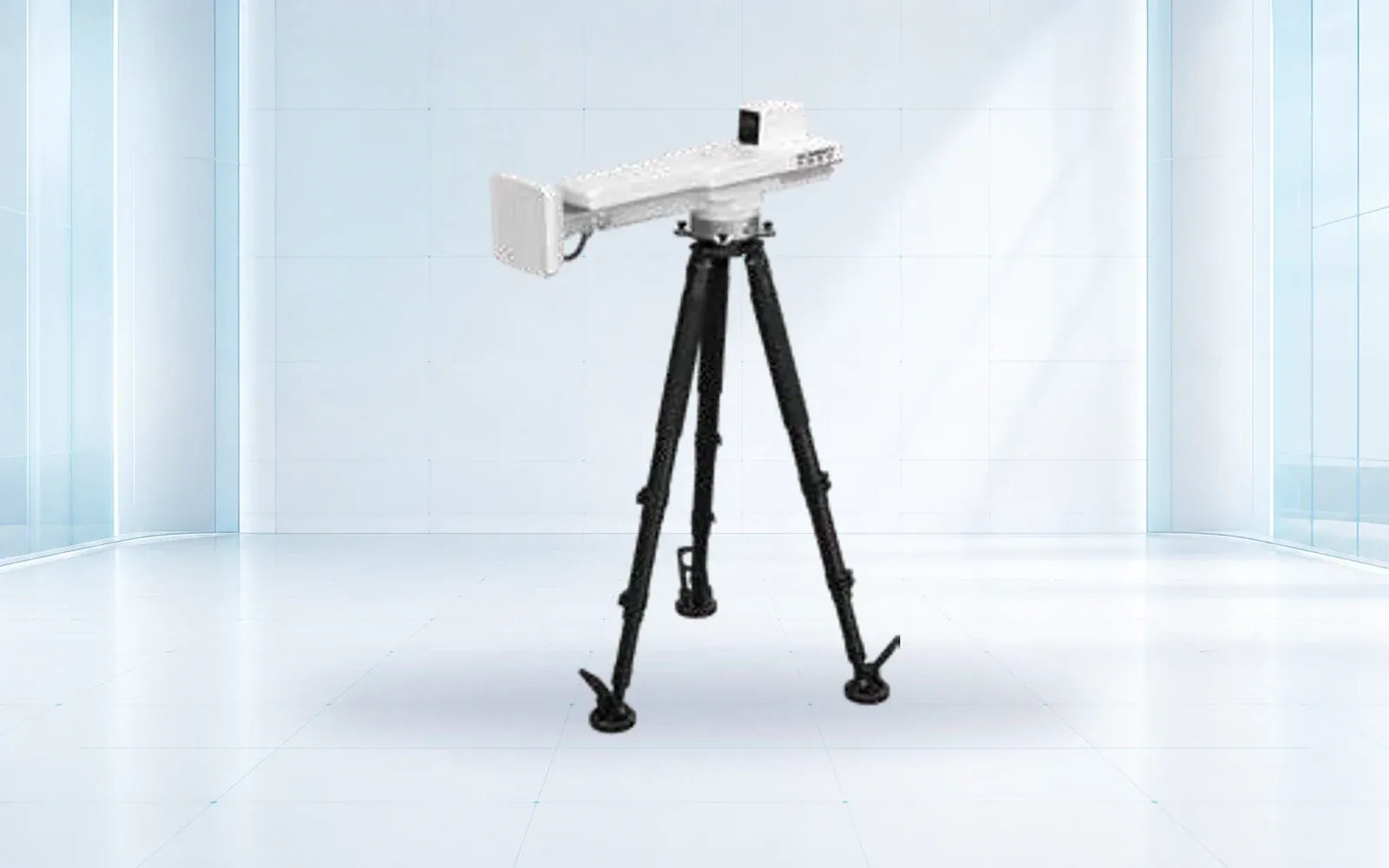
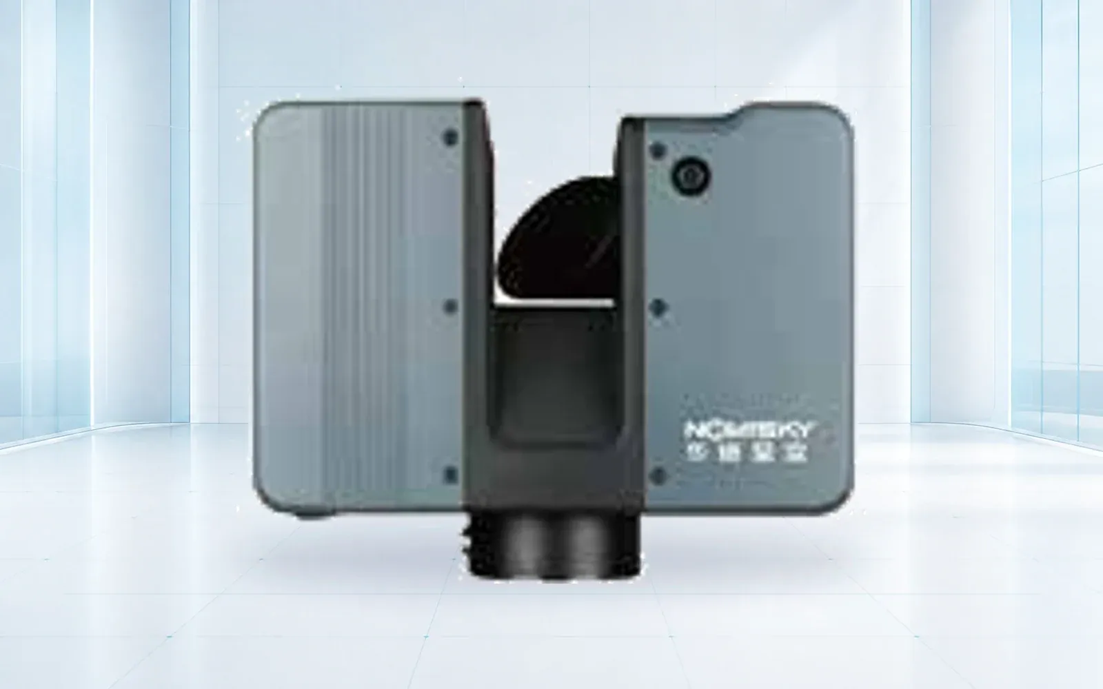
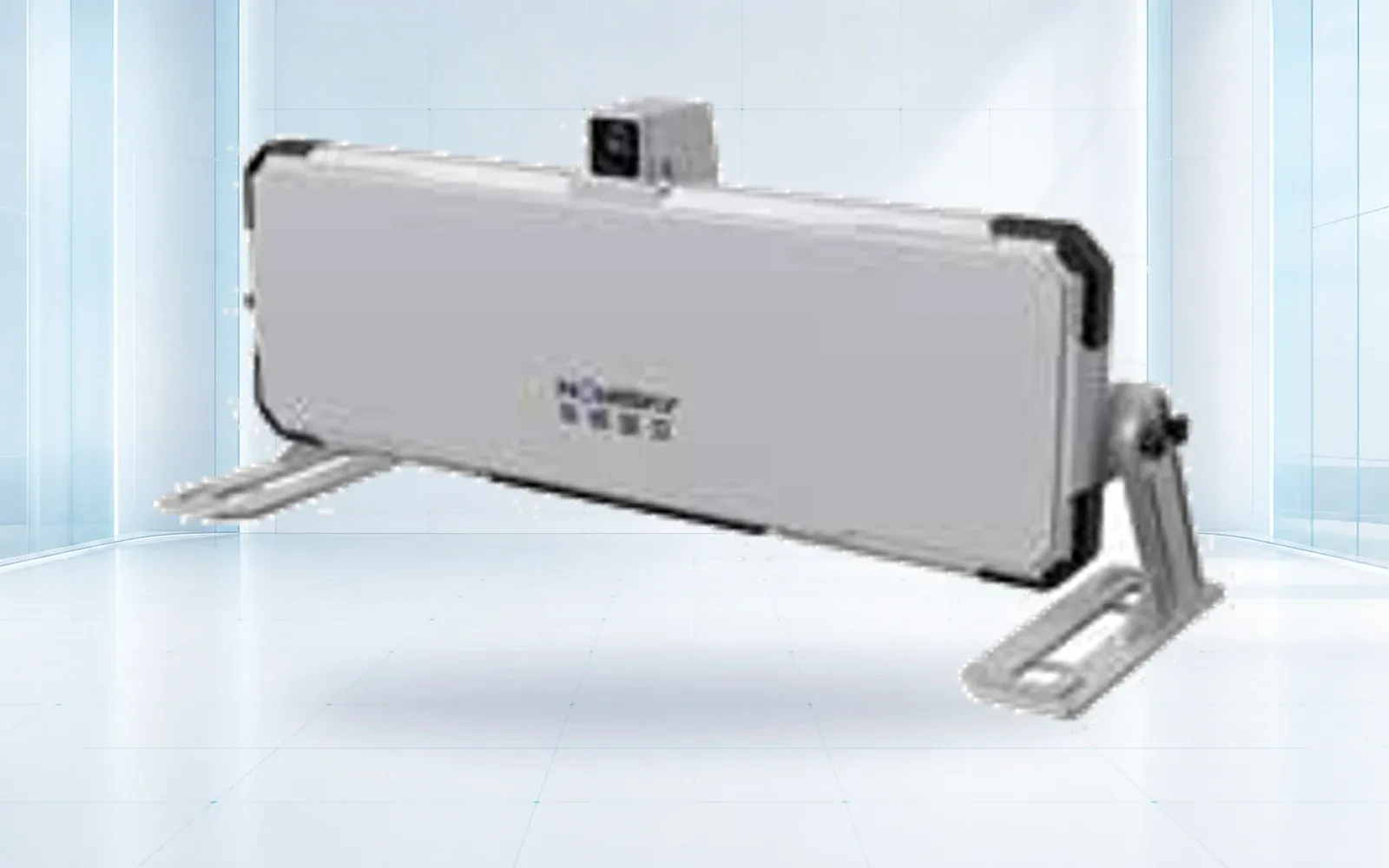
The HAWK-G902 GNSS receiver, HAWK-R5 slope radar and HAWK-RL1500 laser scanner represent different measurement roles. Assess their proposed configurations against the required locations, geometry, observation intervals and data interfaces.
These products do not constitute a complete hydraulic-instrumentation package. Identify the separate suppliers and responsibilities for piezometers, water-level measurements, seepage observations and any other required instruments.
Request data export, configuration history, access controls, maintenance documentation and support arrangements with the hardware. The owner should be able to preserve and review the monitoring record when a service provider or software platform changes.
Keep acceptance criteria tied to the measurement role. A successful radar demonstration cannot validate a piezometer installation, and a dense point cloud does not demonstrate an effective emergency notification process.
Maintain Evidence Across the Facility Lifecycle
Industry implementation remains an ongoing task. ICMM’s November 2025 progress report reports on its members’ GISTM implementation using their August 2025 disclosures. It should not be read as a finding that every tailings facility worldwide complies.
The procurement implication is to buy for a maintained evidence chain: design assumptions, instrument records, reviews, actions and revisions. Include the monitoring and responsibility changes associated with closure and post-closure in the facility’s lifecycle planning.
Independent review needs access to understandable records, including gaps and limitations. Preserve why a setting changed, who approved it and what observations supported the decision.
The deformation-monitoring category and mining safety solution outline available system roles. Use the product catalog alongside the engineer’s monitoring requirements, then ask OMNI UXV to map the required surface-measurement functions to a documented equipment scope.
FAQs
Can radar alone provide complete tailings dam monitoring?
No. Radar observes surface displacement within its coverage and measurement geometry. It does not directly measure internal pore pressure, seepage or the full water balance. The facility's engineering assessment determines the complementary instruments and inspections required.
What does a piezometer add to a tailings monitoring system?
A suitably selected and installed piezometer provides pore-pressure or hydraulic-head observations at its measurement location. Its interpretation depends on the installation, material conditions and engineering model; one point does not describe the entire facility.
Are there universal movement thresholds for tailings dam alarms?
No. Trigger levels and actions must be developed for the facility by the responsible engineering and operational team. They depend on credible failure modes, baseline behavior, instrument uncertainty, consequences and the time available for a response.
Is the Global Industry Standard on Tailings Management a law everywhere?
No. GISTM is an industry standard with a lifecycle and governance scope. Its relationship to legal duties, permits and contractual commitments depends on the jurisdiction and organization. A monitoring purchase does not establish compliance by itself.