A pipeline inspection drone program should be measured by the findings it can locate, verify and close—not by flight distance or image count. Right-of-way patrol, visual inspection, thermal observation and methane measurement are distinct methods with different evidence and regulatory boundaries.
Table of Contents
- 1. Define the Pipeline Decision, Route, and Required Record
- 2. Separate Right-of-Way Patrol, Visual Inspection, Thermal Survey, and Leak Detection
- 3. Match Aircraft and Payloads to Corridor Geometry
- 4. Design C2, BVLOS, and Contingency Coverage Along the Route
- 5. Turn Sensor Detections Into Georeferenced, Reviewable Findings
- 6. Integrate Findings With Work Orders, Compliance, and Cyber Boundaries
- 7. Accept the Program on Recall, False-Alarm Burden, and Closure Quality
- 8. FAQs
1. Define the Pipeline Decision, Route, and Required Record
Break the network into route segments with stable identifiers, asset references, access constraints and inspection frequency. For each segment, state what the patrol must determine: encroachment, erosion, exposed pipe, third-party activity, damaged markers, vegetation, water crossing condition or a site-specific integrity concern.
Define the record before collecting data. It should identify route and asset, time, coordinates and uncertainty, sensor and aircraft configuration, coverage, environmental conditions, observation, confidence, reviewer, required follow-up and final disposition. A geotagged image with no asset relationship is difficult to compare and easy to lose.
In the United States, PHMSA’s 2026 action on the integration of innovative remote sensing technologies for right-of-way patrols is the relevant current starting point. Operators must read the formal scope, conditions and effective dates rather than treating any aerial survey as an automatic replacement for a required patrol.
2. Separate Right-of-Way Patrol, Visual Inspection, Thermal Survey, and Leak Detection
These tasks observe different properties and should not share one vague “anomaly” label.
| Method | Intended observation | Useful output | What it does not establish by itself |
|---|---|---|---|
| Visible route patrol | Encroachment, erosion, exposed assets and surface change | Georeferenced image and condition code | Material loss inside the pipe or gas concentration |
| Close visual inspection | Surface condition of accessible equipment | Scaled imagery and defect location | Subsurface or internal condition |
| Thermal survey | Temperature contrast under stated conditions | Calibrated thermal observation and context | Chemical identity or leak rate without a validated method |
| Optical gas method | Presence or quantified gas response for a defined instrument | Method-specific reading, path and quality data | Universal detection of every leak or compound |
| LiDAR or terrain model | Geometry, vegetation and surface change | Point cloud or repeatable elevation product | Direct proof of pipe integrity |
The EPA maintains an official list of oil and gas alternative test methods. A particular approved method carries instrument, procedure and applicability conditions; its status cannot be transferred to another payload or flight pattern.
3. Match Aircraft and Payloads to Corridor Geometry
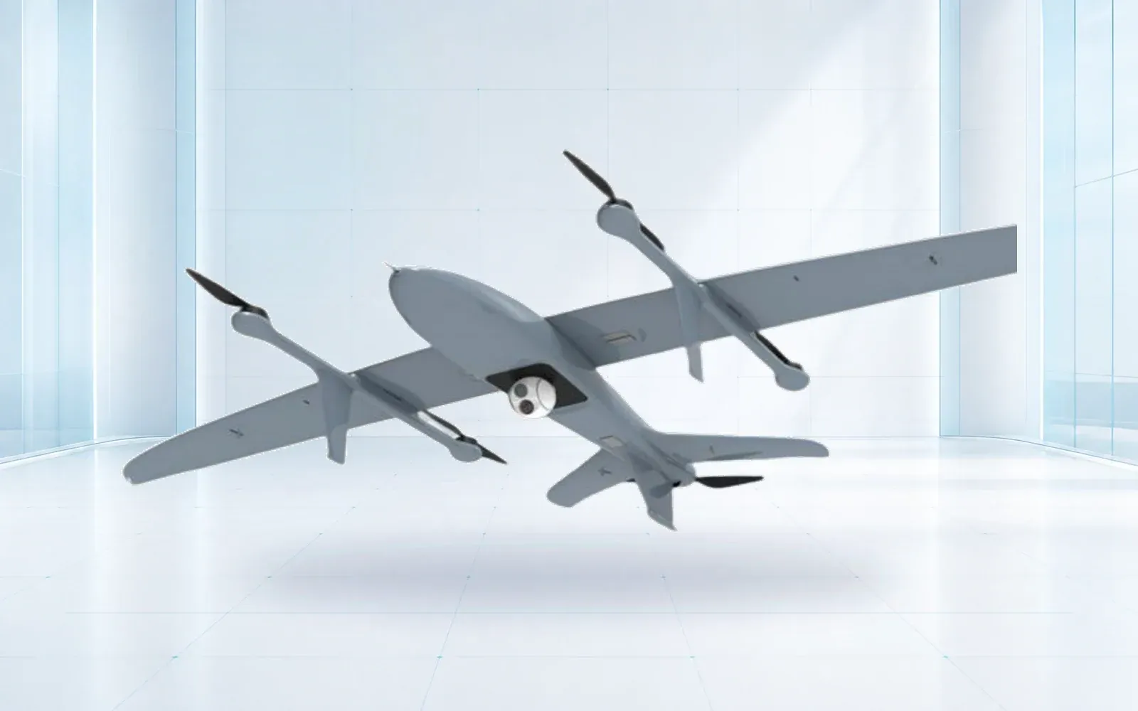
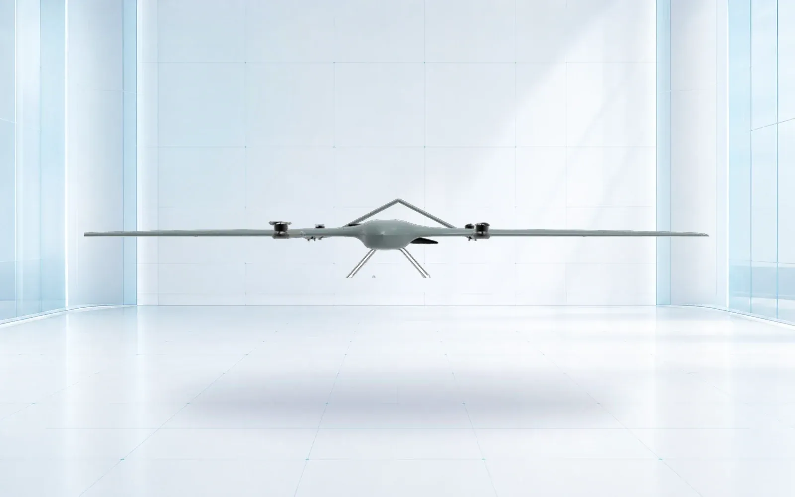
Long, accessible corridors may favor a VTOL platform with efficient cruise, while a multirotor supports close confirmation around stations, crossings and complex structures. The route still needs launch, recovery and alternate sites, terrain clearance, weather limits and a method for reaching a disabled aircraft.
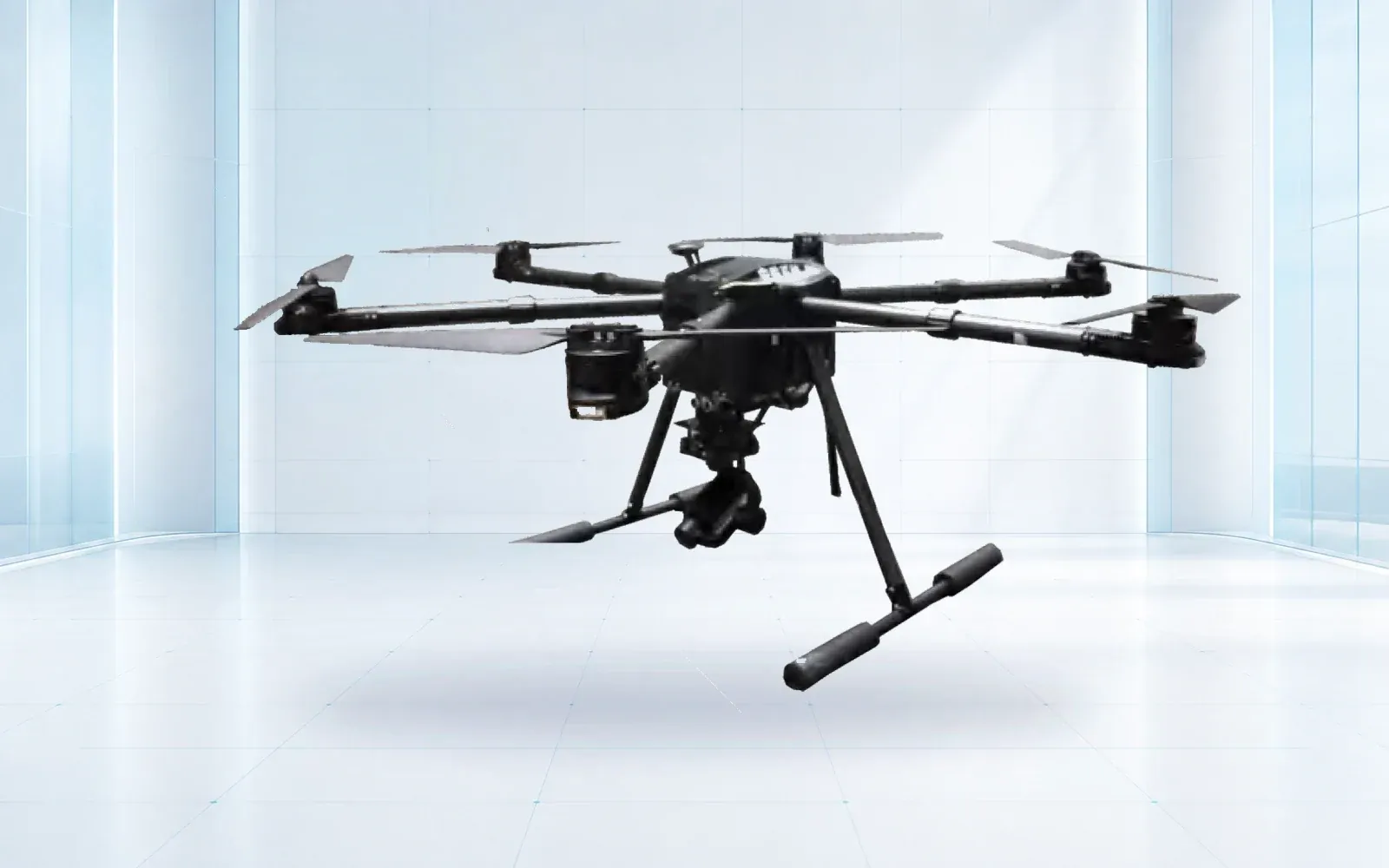
The ZJ-G20 and ZJ-G25 are reference corridor configurations; the F4 is a reference for closer work where its environmental and payload evidence fit. Compare the offered aircraft using the same sensor, route, reserve and maintenance assumptions.
Transmission assets need a different component and viewpoint convention from pipeline rights of way. The drone power line inspection guide shows how tower, phase and component identity follow an aerial observation into a repairable utility finding.
Specify ground sample distance or other measurement quality at the target, not only camera resolution. Account for speed, height, vegetation, shadows, sun angle and repeatability. A route flown quickly is not useful if reviewers cannot resolve the conditions in scope.
4. Design C2, BVLOS, and Contingency Coverage Along the Route
Survey communications by route segment and altitude. Record terrain shadow, public or private cellular coverage, direct RF sites, interference, backhaul and recovery access. Separate command and control from payload streaming; a mission may remain safe with low-rate C2 while recording imagery locally, but that state must be defined and approved.
Establish lost-link, navigation-degradation, weather and blocked-recovery behavior. A return path may cross people or infrastructure that the outbound route avoided. Test handoffs and network edges with the installed antenna and operational data plan.
The FAA’s advanced operations page is the current U.S. entry point for operations beyond routine Part 107 limits. The BVLOS procurement guide covers operating-concept questions; route communications are treated in depth in the drone communication system guide.
5. Turn Sensor Detections Into Georeferenced, Reviewable Findings
Use a staged anomaly funnel. Automated processing may screen frames or sensor records; a qualified reviewer confirms whether a candidate meets the observation criteria; a ground or secondary method determines the condition; the integrity team assigns action; and the record closes only after confirmation, repair or documented rejection.
Every handoff should retain the original observation, algorithm and version if used, reviewer decision, location uncertainty and supporting media. Sample rejected candidates to detect systematic reviewer or model bias. Track time spent on false positives because it is a real operating cost.
6. Integrate Findings With Work Orders, Compliance, and Cyber Boundaries
Map route and asset IDs to GIS and CMMS fields before deployment. Define who may create, merge, escalate and close a finding. Keep inspection evidence separate from general surveillance data, and apply role-based access, audit, encryption, backup and retention appropriate to the operator’s environment.
If processing occurs in a cloud or vendor platform, document data location, export format, model updates, outage behavior and contract-end retrieval. Raw and processed outputs should remain usable without a proprietary viewer where the records policy requires long retention.
Use the oil and gas facility solution to align inspection with the site’s broader operational and security architecture. Regulatory and method records can be organized through the compliance library.
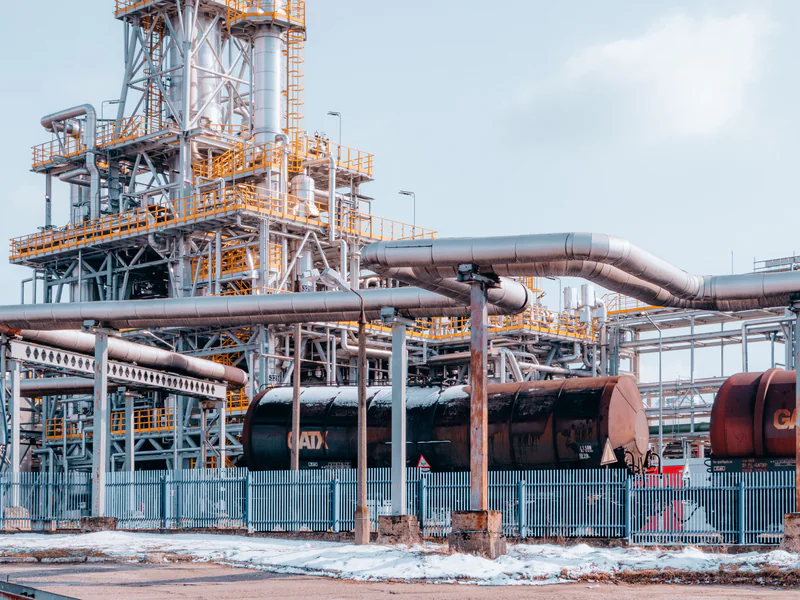
For tanks, flares, process units, and unmanned production sites at either end of the corridor, the oil and gas facility drone inspection guide defines a separate asset-zone, process-safety, and evidence workflow.
7. Accept the Program on Recall, False-Alarm Burden, and Closure Quality
Seed or select known conditions across representative route segments and include negative areas. Score coverage, known-condition recall, location error, usable media, false candidates per distance or review hour, communications availability, safe contingencies and delivery time. Then follow a sample through field verification and work-order closure.
Acceptance should identify where the method is valid and where another inspection remains required. Record vegetation, season, lighting, temperature and weather so results are not applied outside their tested conditions. Require retraining and retest triggers after material sensor, aircraft, algorithm or route changes.
For a method-specific trial, contact OMNI UXV with the route segments, required patrol record, candidate sensors, aviation basis and integrity-management workflow. The objective is a defensible closed finding, not a larger folder of aerial imagery.
8. FAQs
Can a drone replace a pipeline right-of-way patrol?
It may perform or support a patrol where the regulator and operator's approved procedure allow it and where coverage, timing, records and follow-up meet the applicable requirements. A drone flight is not automatically an accepted substitute for every patrol.
Which sensors are used for pipeline drone inspection?
Visible cameras support right-of-way and surface-condition review, thermal sensors show temperature patterns, LiDAR supports terrain and geometry, and specialized optical gas instruments may measure particular gases under defined conditions. Each output needs its own validation.
What is the difference between visual inspection and methane detection?
Visual inspection records observable conditions such as encroachment, erosion or equipment damage. Methane detection requires a gas-sensitive method, suitable environmental and flight conditions, calibration and an accepted procedure; ordinary imagery cannot establish a methane concentration.
What should a pipeline drone acceptance test measure?
Measure route and asset coverage, known-condition recall, false-alarm workload, location accuracy, usable evidence, C2 availability, safe contingencies, review time, work-order handoff, field confirmation and closure completeness.