A drone power line inspection becomes useful when a reviewer can trace every observation to the correct structure and component, judge the evidence in context, and send a confirmed condition into maintenance. Aircraft range and camera resolution matter, but neither closes that chain alone.
Table of Contents
- 1. Define the Asset, Condition, and Maintenance Decision
- 2. Build an Asset-ID and Viewpoint Matrix
- 3. Match Aircraft and Payload to the Inspection Layer
- 4. Control Conductor, Obstacle, and Aviation Risk
- 5. Preserve Evidence Quality and Location Uncertainty
- 6. Convert an Observation Into a Repairable Finding
- 7. Run a Representative Acceptance Trial
- 8. FAQs
1. Define the Asset, Condition, and Maintenance Decision
Begin with the utility’s asset hierarchy. A flight segment should resolve to a line, structure, circuit where appropriate, and component such as an insulator string, conductor attachment, spacer, damper, shield wire or tower member. The required finding is not “possible damage near tower 18.” It is a condition attached to a stable component ID, supported by the required views and ready for engineering review.
Write a defect-family register before choosing the aircraft. For each family, state what is observable from the air, what image or measurement quality is necessary, which contextual views are required, and what confirms the condition. That prevents a thermal pattern, vegetation conflict and missing fastener from entering one generic anomaly queue.
| Inspection question | Primary aerial evidence | Context that must travel with it | Confirmation path |
|---|---|---|---|
| Is a component visibly displaced or damaged? | Repeatable oblique and profile images | Structure and component ID, view direction, scale cue | Qualified image review and targeted field check |
| Is a connection unusually warm? | Radiometric thermal record where the method supports it | Load, ambient conditions, emissivity assumptions, matching visible view | Utility thermography procedure and electrical review |
| Is vegetation approaching the corridor envelope? | Georeferenced imagery or LiDAR geometry | Coordinate reference, conductor model, season and uncertainty | Clearance analysis and vegetation crew check |
| Has tower or surrounding terrain changed? | Repeat survey geometry and overview imagery | Comparable epoch, reference frame and survey quality | Survey or structural review where thresholds are crossed |
The output specification should name the maintenance decision: monitor, re-inspect with another method, dispatch a crew, create a planned repair or escalate immediately. If no owner can act on a result, collecting it adds review cost without reducing asset risk.
2. Build an Asset-ID and Viewpoint Matrix
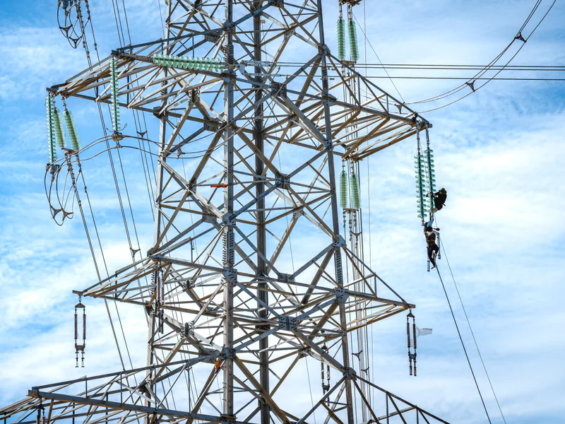
Power infrastructure repeats visually. Adjacent towers may share geometry, and one image may contain several strings or phases. Store route direction, structure ID, side, phase or circuit convention, component code, camera pose and capture time with the media. Display those fields during review instead of relying on filenames created after landing.
Define required viewpoints by defect family. An overview establishes identity and surroundings; a component view shows condition; a second angle separates a true feature from perspective or occlusion. A close image without its overview can be sharp but operationally ambiguous.
Flight paths should preserve that sequence. Use planned pauses or capture gates rather than continuous video when reviewers need consistent still images. Record unobserved faces and blocked components explicitly. Coverage is the proportion of required views delivered at usable quality—not the number of structures passed or gigabytes recorded.
3. Match Aircraft and Payload to the Inspection Layer
Corridor reconnaissance and component inspection impose different requirements. Efficient cruise can support route context, vegetation mapping and structure-level screening. Close inspection needs stable low-speed positioning, controllable view geometry and safe maneuvering around wires, members and changing wind.
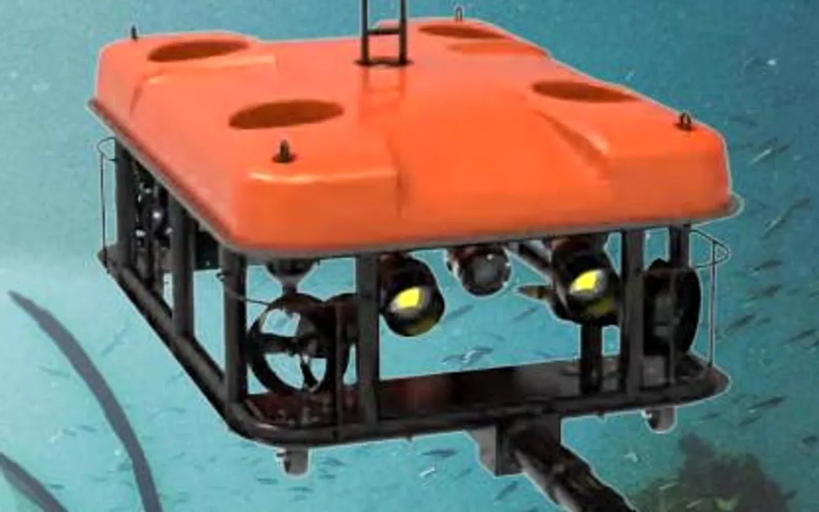
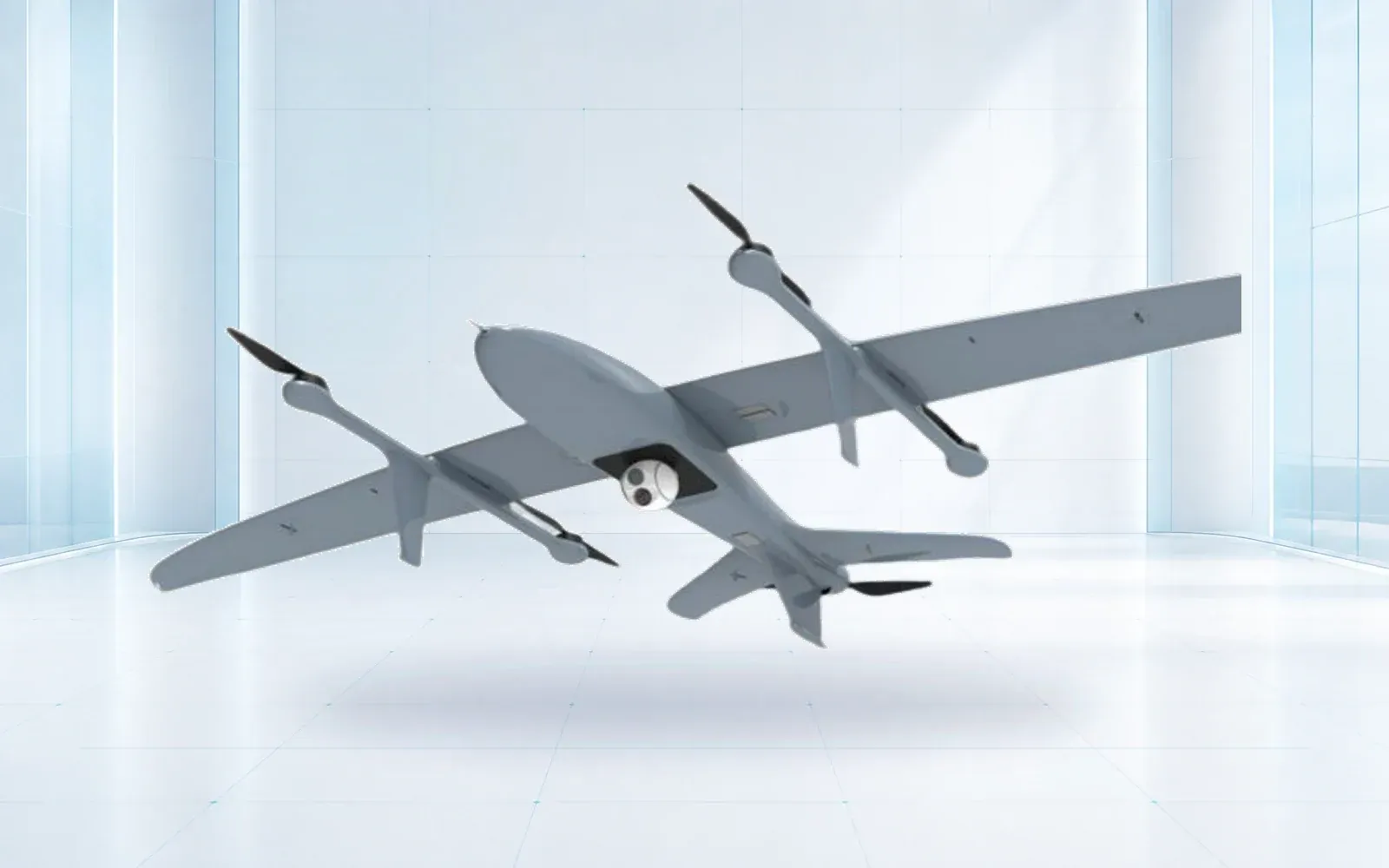
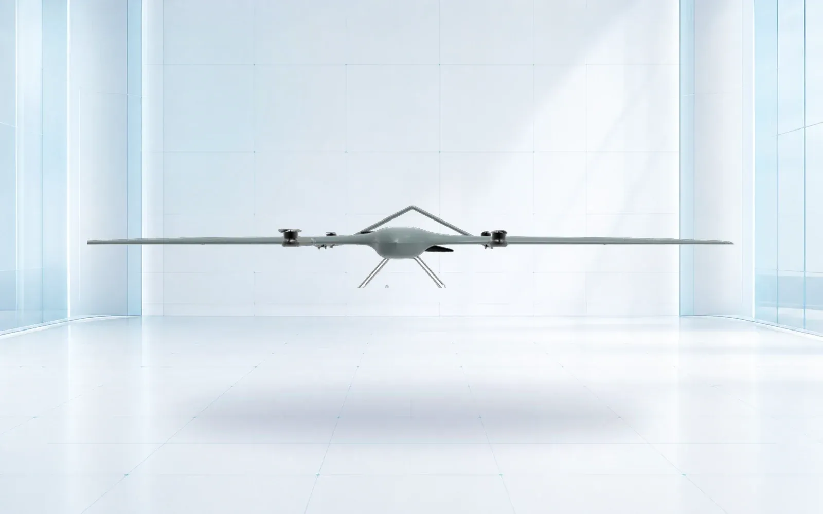
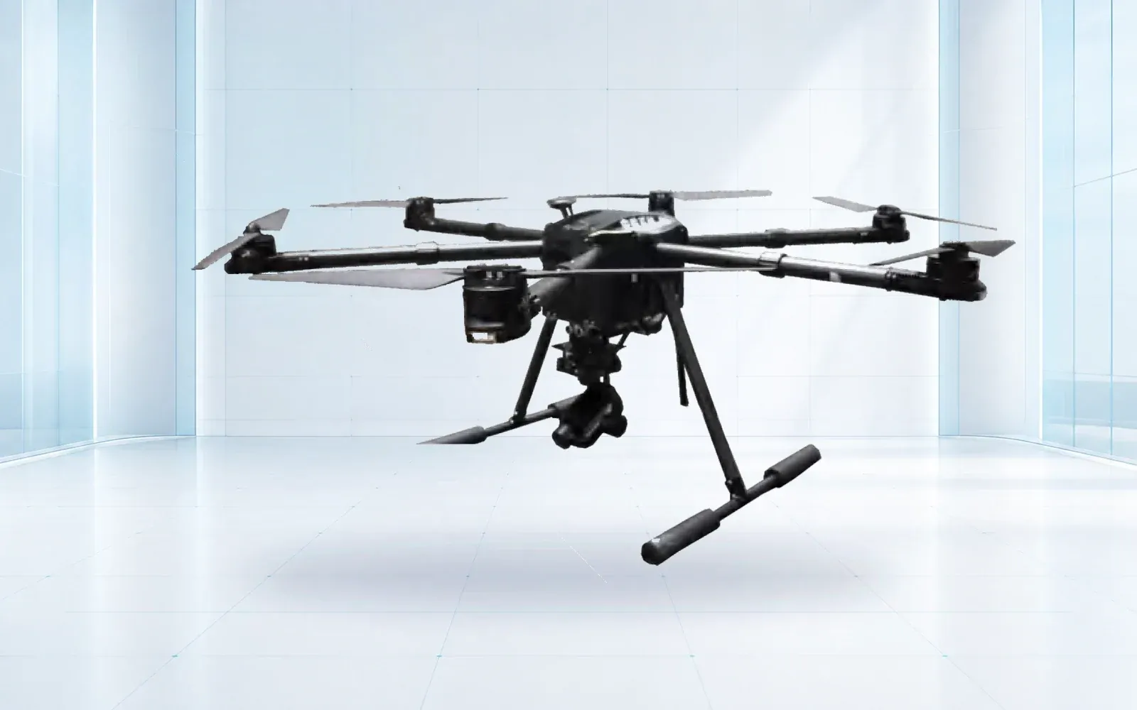
The ZJ-G25 VTOL is a reference configuration for broader route work, while the F4 waterproof multirotor is a reference for closer observation where its verified configuration fits the site. Compare the offered aircraft with the installed payload, usable energy reserve, wind limit, link design and required image quality—not with empty-aircraft endurance.
Visible, thermal and LiDAR outputs are complementary. A visible camera records appearance. A thermal camera records an apparent temperature field whose interpretation depends on method and conditions. LiDAR measures geometry and can support vegetation or structure models, but it does not diagnose electrical condition. Require a sensor-specific quality report instead of merging all three into an “AI inspection score.”
The ORNL grid-health demonstration illustrates a useful systems idea: grid sensing can trigger a drone check, multiple sensor outputs can be returned, and a utility system can create work. It is a research and demonstration example, not proof that the same automation is ready for every network.
4. Control Conductor, Obstacle, and Aviation Risk
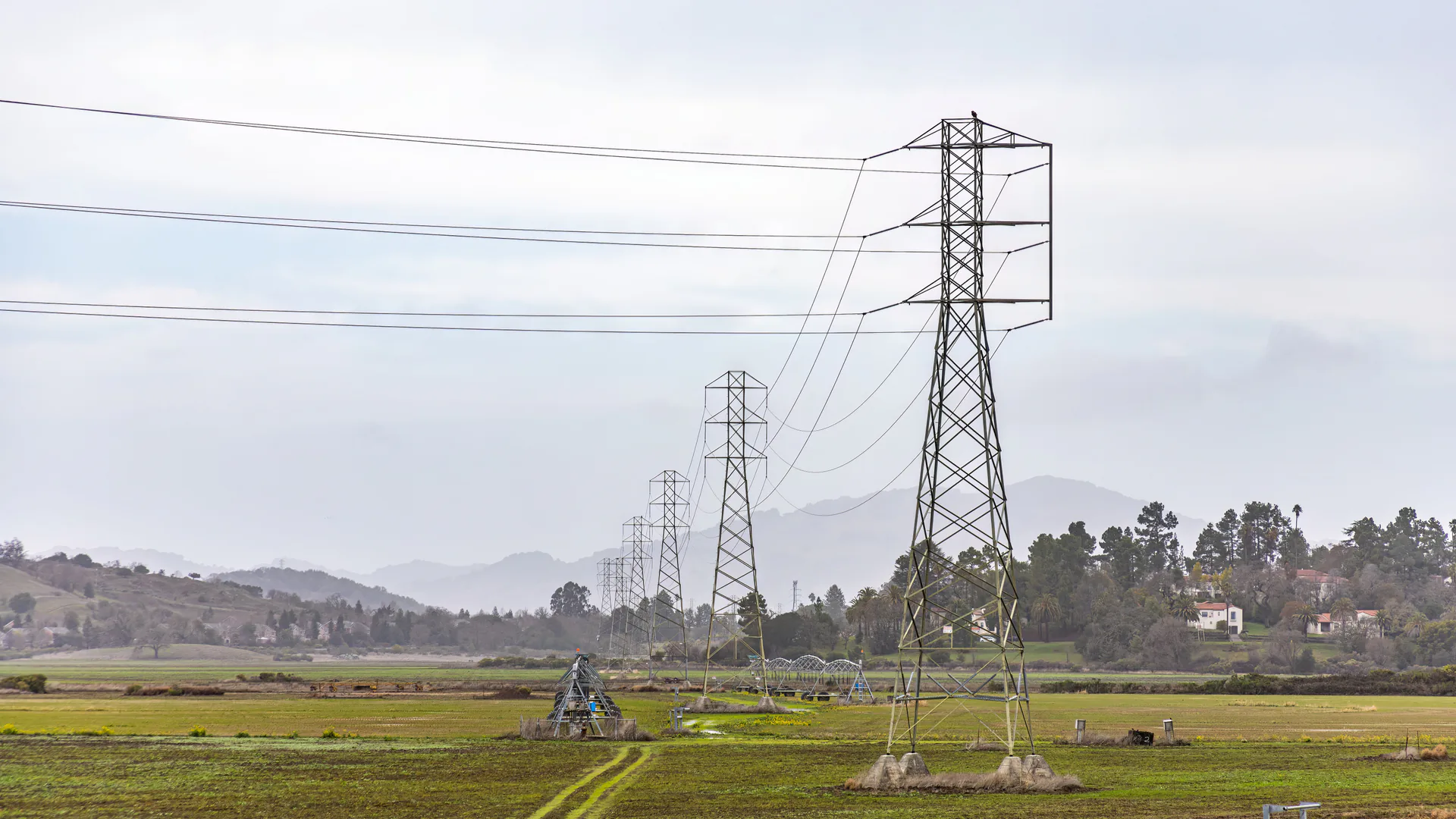
Create an approach envelope for every structure family. Include conductors and shield wires, insulator swing, tower steel, vegetation, guying, roads and people. Position uncertainty, wind displacement and braking distance must fit inside the clearance logic. A nominal waypoint that clears a conductor is insufficient if the aircraft can overshoot it during a gust or navigation degradation.
Electromagnetic environment, compass behavior and GNSS quality should be observed with the installed configuration. Predetermine what causes the pilot to hold, back away, climb, land or abandon a component. Lost-link and return behavior deserve particular attention: a generic straight-line return could cross the structure the aircraft was inspecting.
In the United States, the FAA’s Part 107 page is the current entry point for routine small-UAS operations. Airspace, visual-line-of-sight, night, operations over people and any advanced operation must be assessed for the actual mission. The drone communication system guide covers route-specific command-and-control evidence; it should remain separate from payload-video convenience.
5. Preserve Evidence Quality and Location Uncertainty
Define image quality at the target. Specify the smallest feature that must be resolved, the permitted blur and exposure failure, view angle, focus behavior and required overlap. Camera resolution alone does not guarantee that a pin, clamp or surface condition is visible at stand-off distance.
For thermal work, retain the original measurement file when the procedure requires it, not only a colored screenshot. Record the sensor, settings, ambient conditions, relevant load information, observation angle and matching visible view. Use consistent palettes for review, but do not let color imply a diagnosis that the measurement method cannot support.
Every coordinate should carry a meaning and uncertainty. Aircraft position is not automatically component position, especially with an oblique camera. If the workflow projects a ray onto a model, store the model version and method. Where that uncertainty is too large, use the asset/viewpoint code as the primary locator and coordinates as supporting context.
6. Convert an Observation Into a Repairable Finding
Use a controlled funnel: collection quality check, qualified review, duplicate merging, condition classification, engineering or field confirmation, maintenance priority, work order and closure. Keep the original observation even if a candidate is rejected, along with the reviewer, reason and algorithm version if automated screening was used.
The inspection platform should exchange stable asset IDs with GIS or the utility asset system. A work order needs enough evidence for a planner to understand location, access, probable scope and urgency. After repair, store completion evidence against the same component so the next inspection does not rediscover a closed condition.
The pipeline inspection drone guide provides a parallel corridor workflow, but its route and surface-condition decisions are not interchangeable with conductor and insulator views. Use the critical infrastructure protection solution to place aerial findings alongside ground sensing, security and operational response.
7. Run a Representative Acceptance Trial
Select structures that represent real variation: suspension and tension arrangements, different conductor geometry, vegetation, crossings, sun directions, background clutter and communications gaps. Include known conditions and clean components. Score required-view coverage, resolvable detail, asset-ID accuracy, thermal repeatability where used, position uncertainty, reviewer agreement and candidates per review hour.
Exercise lost link, rejected capture, blocked view and field escalation. Follow several findings through the work-order system and back to closure. Acceptance should state the conditions in which the method works, what remains unobserved and which changes require retest—such as a new payload, major software update, structure family or flight geometry.
For an asset-specific trial, review the industrial UAV portfolio and contact OMNI UXV with the structure families, defect register, required evidence, aviation basis and work-order fields.
8. FAQs
Can drones replace manual power line inspection?
Drones can cover defined visual, thermal and mapping tasks, but they do not automatically replace every climbing, ground, electrical or specialized test. The utility should assign each defect family to an accepted observation and confirmation method.
Which sensors are useful for drone power line inspection?
Visible cameras support component condition records, thermal cameras show temperature patterns under controlled conditions, and LiDAR can document corridor and vegetation geometry. Each sensor needs a defined target, quality threshold and confirmation method.
How should a utility manage flight risk near energized conductors?
Set component-specific stand-off and approach rules, model conductor and obstacle geometry, establish abort and lost-link behavior, control personnel access, and trial the installed aircraft and payload with the utility's aviation and electrical safety teams.
What should a power line drone acceptance test measure?
Measure asset identification, required-view coverage, resolvable detail, thermal repeatability where applicable, location uncertainty, reviewer agreement, false-candidate workload, safe contingencies and work-order handoff.