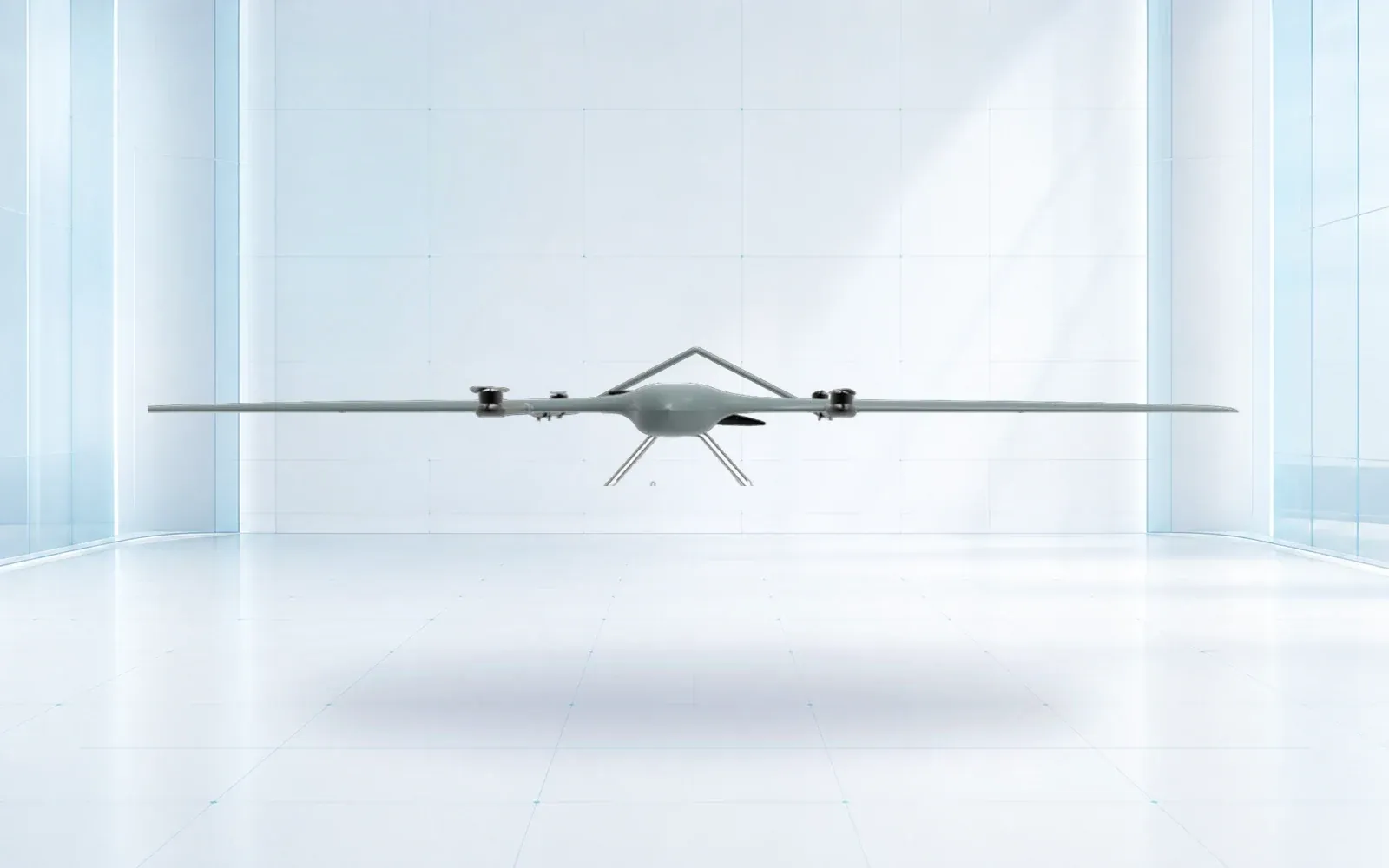
The fixed-wing-versus-multirotor decision should start with the mapping deliverable and site geometry, then account for launch space, hover requirements, sortie transitions, ground control, reflight risk, and the evidence used to accept the finished data.
Table of Contents
Begin With the Map, Model, or Measurement
Define the accepted deliverable before comparing aircraft. An orthomosaic for visual context, a topographic surface, an asset model, a stockpile volume, and a corridor inventory impose different requirements for ground sample distance, viewing angles, control, checkpoint distribution, overlap, and missing-data tolerance.
The current ASPRS Positional Accuracy Standards separate product accuracy from a simple camera or flight-height claim. That distinction matters: the aircraft carries the sensor, but independent checkpoints and documented processing establish whether the delivered product meets its requirement.
Write the acceptance statement first. Identify coordinate reference, horizontal and vertical accuracy, surface type, minimum completeness, excluded areas, metadata, original imagery, quality report, and the action taken when a checkpoint or coverage test fails.
Let Site Geometry Narrow the Platform Choice
Fixed-wing aircraft use forward motion to generate lift. They are therefore natural candidates for long corridors and broad blocks where turns, climb, transit, and recovery can be accommodated. Multirotors can hover, move slowly, hold an oblique view, launch from a compact area, and rework a small patch without flying a complete circuit.
Neither description decides the mission. A large site broken into narrow permissions may favor compact launches and short segments. A small but inaccessible plateau may benefit from VTOL fixed-wing transit. A facade or tower that needs stationary oblique views is a different mission from a nadir grid.
| Mission condition | Fixed-wing or VTOL fixed-wing tendency | Multirotor tendency | Evidence to compare |
|---|---|---|---|
| Broad, regular block | Efficient continuous passes may help | More turns and battery transitions may be required | Accepted area per crew-hour |
| Long corridor | Forward-flight efficiency can fit the route | Useful for short segments and close asset stops | Transit, turn and reflight time |
| Compact or obstructed launch | Conventional recovery may be difficult; VTOL changes the equation | Vertical launch can reduce space needs | Surveyed launch/recovery envelope |
| Hover or detailed oblique view | Not a fixed-wing strength | Directly supports stationary inspection views | Required view list and usable frames |
| Tight boundary or fragmented airspace | Turns and overshoot need room | Can follow smaller cells more closely | Geofence, contingency and coverage test |
Use a scaled mission plan rather than an acreage slogan. Include terrain, legal operating volume, launch alternatives, emergency landing areas, communication coverage, obstacles, transit legs, turns, and the actual sensor footprint.
Compare the Installed Configuration, Not the Airframe Label
Payload mass, mount position, center of gravity, power draw, antenna placement, environmental enclosure, storage, and triggering can change endurance and image quality. The FAA’s Part 107 overview also makes the attached systems and payload part of the aircraft’s operating weight in covered U.S. operations.
Freeze a configuration record for each candidate: aircraft, firmware, propeller, battery type and age band, payload, lens, mount, GNSS equipment, link, ground station, and processing version. Compare that installed configuration under representative conditions. A brochure endurance value from a bare or different payload configuration is not a mission result.
The companion drone payload integration guide provides an interface-control method. Use the mapping-drone selection guide when the decision also includes sensor type and delivered-data economics.
Model Field Work as Well as Flight Work
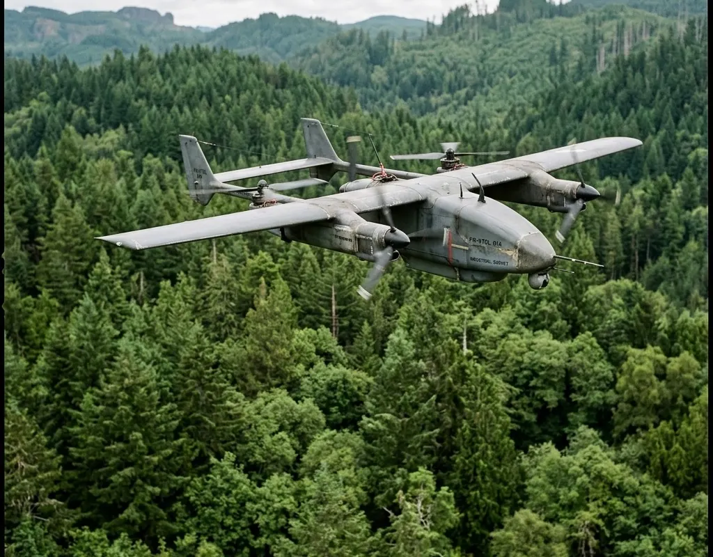
Count mobilization, assembly, control setup, safety checks, launch preparation, battery changes, recovery, data transfer, control surveys, travel between launch points, and exception handling. The useful denominator is often accepted area or corridor length per crew-hour, not theoretical area per flight.
Reflight risk can reverse an apparent efficiency advantage. A long sortie with a late exposure, focus, trigger, or overlap problem may invalidate a large block. Shorter sorties create more transitions but can bound the affected area. Design the field quality gate around exposure samples, image count, trajectory, overlap preview, GNSS status, storage integrity, and coverage exceptions.
USGS guidance on calibrating uncrewed-aircraft imagery emphasizes recording enough information for useful and reproducible data. Preserve the configuration and field record so another reviewer can understand how the result was produced.
Accept the Data and the Operating Envelope
Run representative test blocks that include ordinary terrain, edge conditions, elevation change, low-texture or vegetated areas, and a planned reflight. Use the same control and independent checkpoint method for both candidates. Report rejected images, gaps, seam issues, checkpoint residuals, processing interventions, crew time, and exceptions.
Accept a defined envelope: payload, wind and temperature range, launch geometry, terrain, communication assumptions, reserve policy, camera settings, and processing workflow. A platform that succeeds only after undocumented manual rescue work has not demonstrated a repeatable production process.
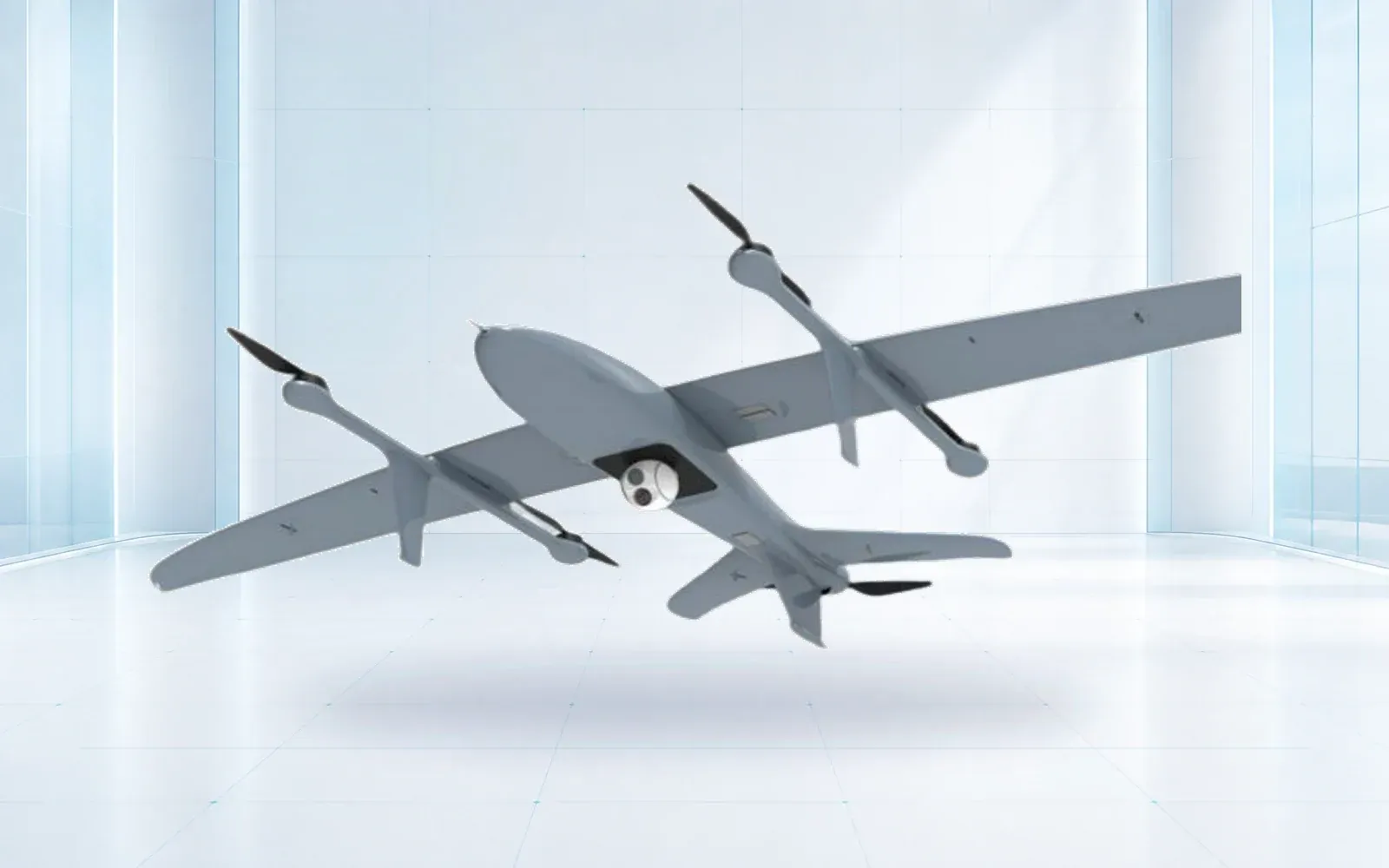
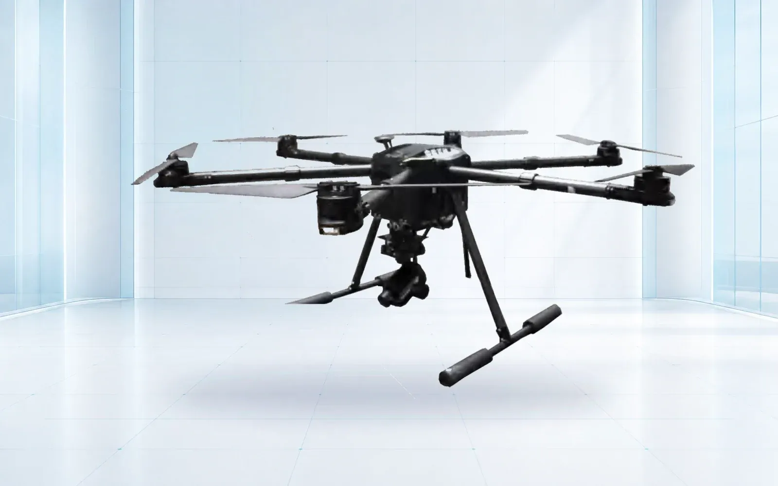
Review the industrial UAV portfolio, including the ZJ-G25 VTOL survey UAV and F4 multirotor, as configurations to verify—not as interchangeable answers. The critical-infrastructure solution and resource center can help connect the aircraft decision to the larger inspection or mapping program.
FAQs
Is a fixed-wing drone always better for large mapping projects?
No. It can be efficient on broad or linear sites, but launch and recovery constraints, narrow boundaries, airspace, terrain, payload integration, and reflight logistics may favor a multirotor or VTOL configuration.
Is a multirotor drone more accurate than a fixed-wing drone?
Aircraft type alone does not determine delivered accuracy. Camera calibration, flight geometry, control, checkpoints, processing, terrain, exposure quality, and independent verification all affect the result.
What should a mapping-drone comparison test measure?
Measure accepted coverage per crew-hour, image quality, overlap, control and checkpoint results, launch and recovery burden, battery changes, data handling, exceptions, and the cost of reacquiring failed areas.