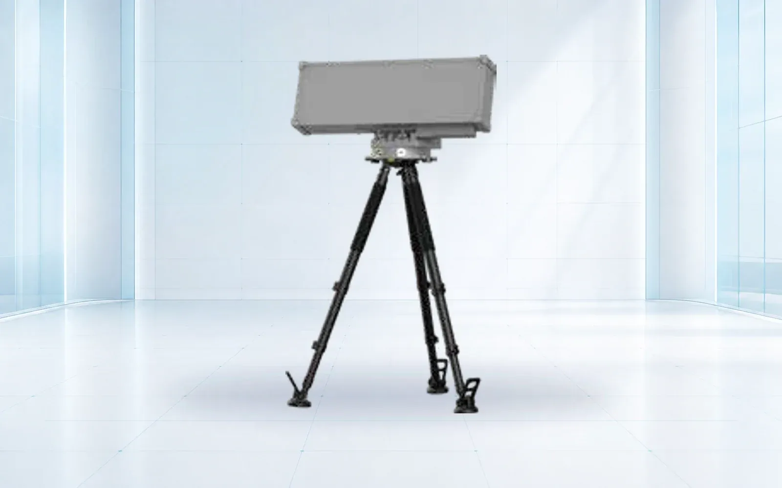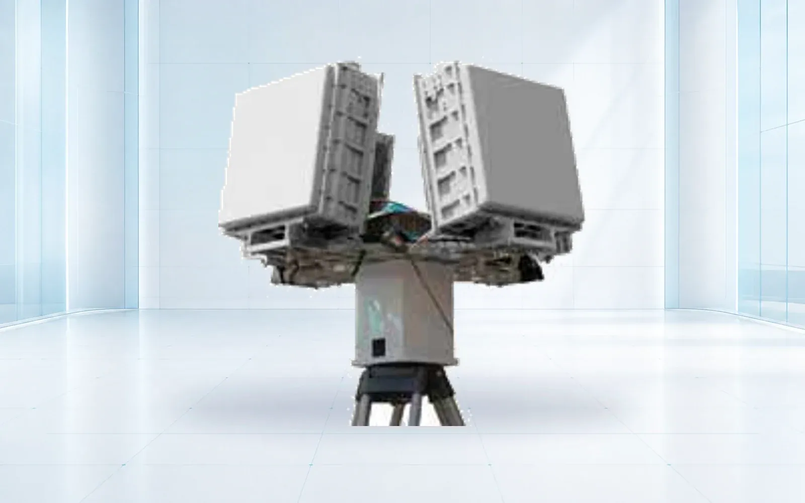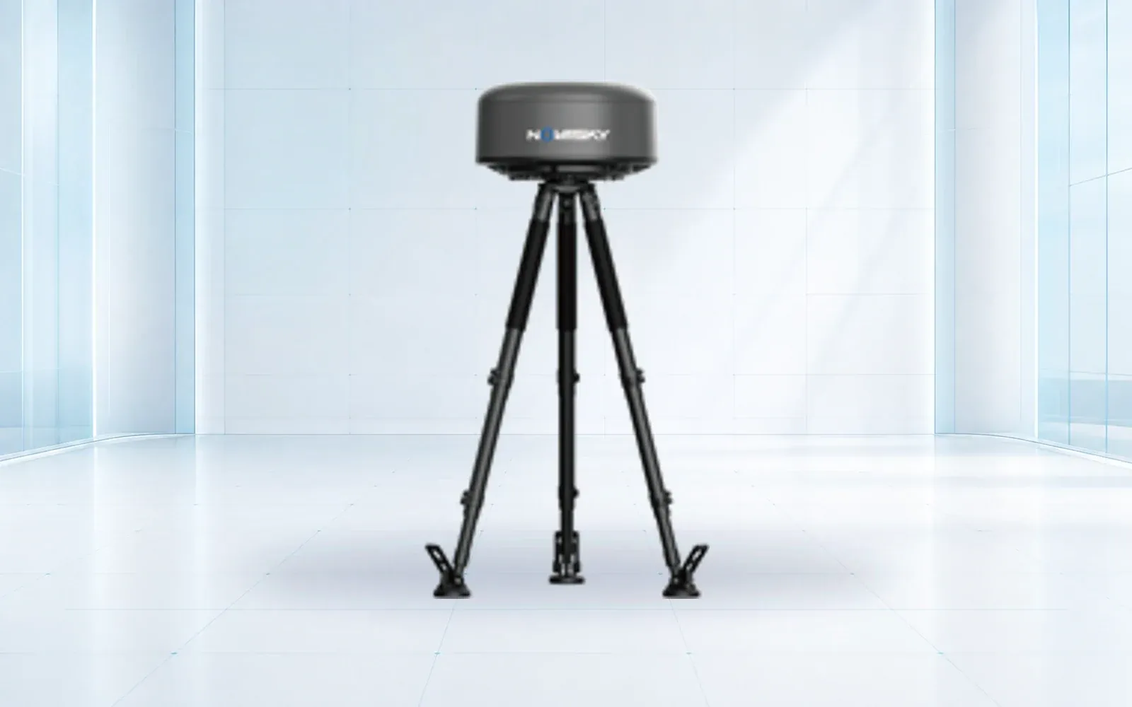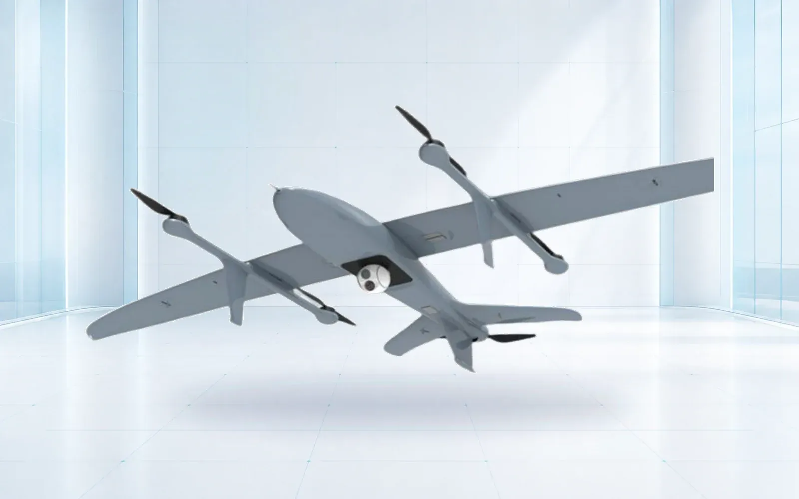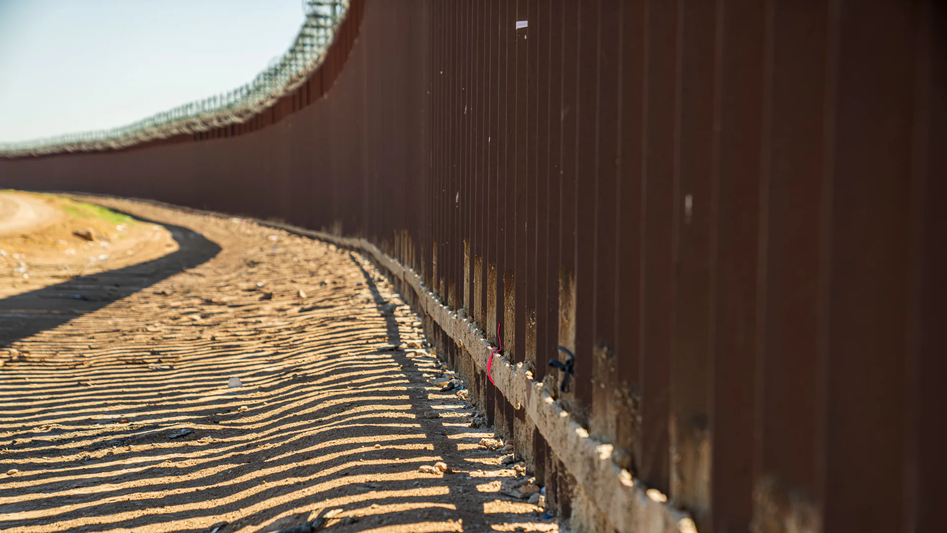
Border surveillance is a coverage and response problem across uneven terrain, not a contest for the longest sensor range. Ground radar, EO/IR towers, unattended sensors, aerial assets, counter-drone equipment, communications, and operators must be assigned distinct target classes and handoffs before their combined performance can be accepted.
Table of Contents
Split the Mission by Target and Decision
People, ground vehicles, small boats, low-flying aircraft and drones create different signatures and response timelines. A border architecture should state which layer detects each target, which layer identifies it and who acts on the result.
Current government deployments demonstrate that mix. A 2026 GAO review of the U.S. northern border describes camera towers, unattended ground sensors, flat-panel maritime radar and counter-drone systems rather than one universal sensor. It also records availability and replacement challenges, showing why installed quantity is not the same as operational coverage.
| Layer | Primary contribution | Evidence needed |
|---|---|---|
| Ground or maritime radar | Detect and track motion over open sectors | Target-specific coverage and clutter performance |
| EO/IR tower | Identify and document a cued target | Identification range by light and weather |
| Unattended ground sensor | Alert in masked or narrow terrain | Nuisance sources, battery and communication life |
| UAV or crewed aircraft | Revisit and follow a selected event | Response time, endurance and data handoff |
| Counter-UAS RF/radar/EO | Detect low-altitude aircraft and controller activity | Drone-class performance and legal operating scope |
| Command platform | Correlate events and dispatch response | Track identity, audit trail and degraded modes |
Terrain Creates the Real Coverage Map
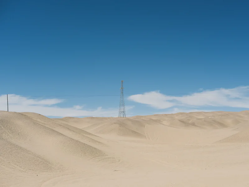
Instrumented range is measured under controlled geometry. Border terrain introduces ridges, vegetation, buildings, water reflections, livestock, roads and legitimate activity. The survey should model line of sight for every candidate tower and verify it from the proposed mounting height.
Coverage polygons need to show target class, confidence and expected blind zones. A radar sector for low-altitude drones is not proof of pedestrian detection; likewise, a ground radar pointed along a valley may not cover aircraft approaching above the ridge. The NI-R5000 belongs to the low-altitude awareness layer unless project testing establishes another role.
Engineer the Radar-to-Camera Handoff
Radar should produce a stable track, bearing and position that the EO/IR unit can acquire without an operator searching the entire scene. The camera then returns classification evidence and any uncertainty to the same incident.
Acceptance should measure cue time, successful acquisition rate and track continuity—not merely whether both devices appear on one screen. Clock drift, coordinate-frame errors and different target identifiers are common integration failures. When two sensors observe the same target, the command system should merge the evidence without hiding the originals.
Unattended sensors can cue the same workflow in terrain hidden from radar. Their alerts need location, sensor health and enough context to prevent every vibration from creating a dispatch.
Use Mobile and Aerial Assets for Gaps
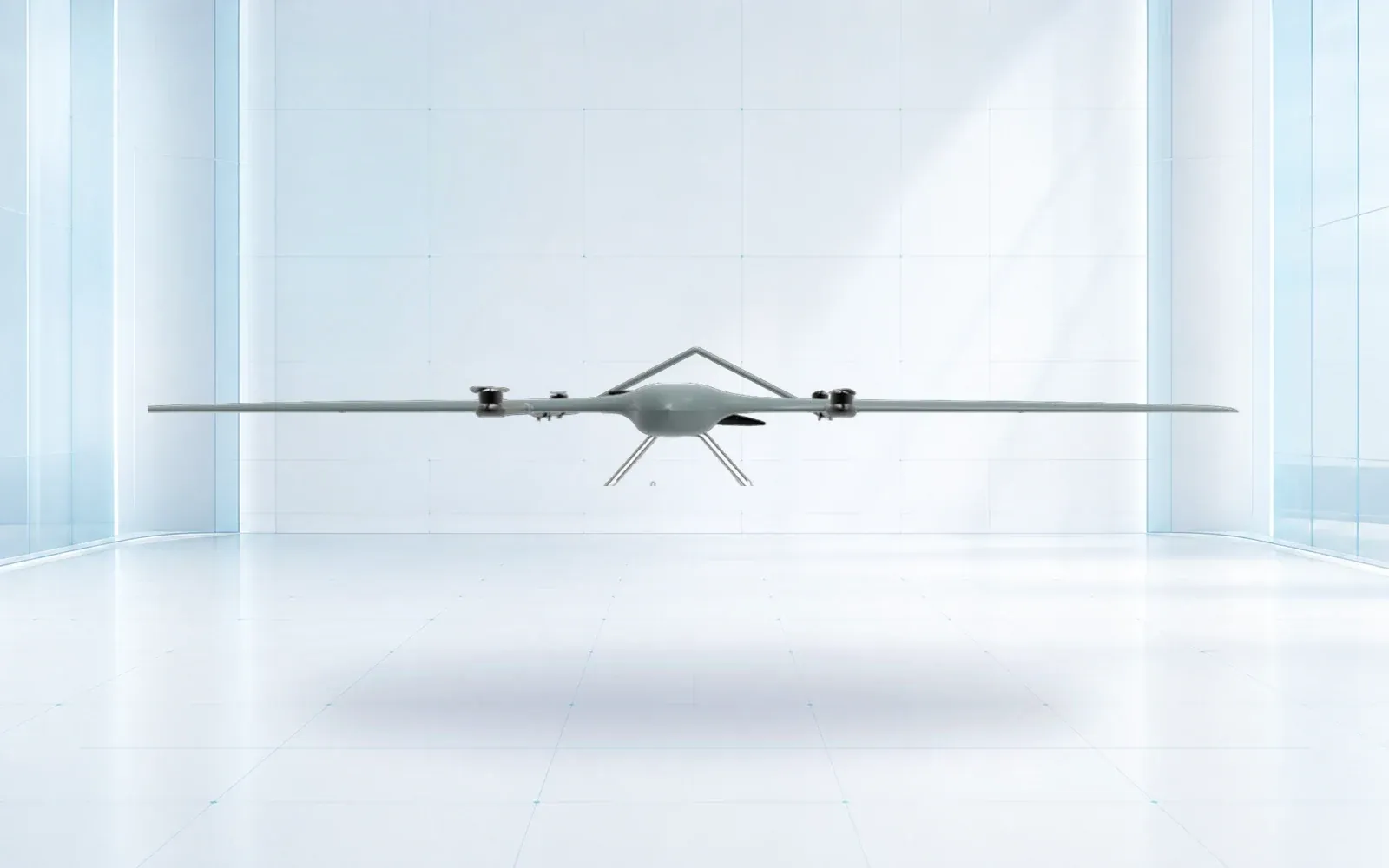
Relocatable towers, vehicle systems and UAVs are useful when traffic shifts, infrastructure is temporary or a fixed site would be inaccessible. Their advantage is taskability; their weakness is availability. A mobile unit in transit or a UAV grounded by weather is not persistent coverage.
Define activation and travel time, setup, staffing, communications and the conditions that trigger redeployment. For UAVs, include airspace authorization, lost-link behavior, launch and recovery, endurance with the actual EO/IR payload and the process for transferring imagery and coordinates into the border incident record. The border patrol drone mission design guide turns those requirements into a sector-level coverage and handoff test.
The industrial UAV category should be evaluated as an aerial response layer, while the border and homeland security solution ties that layer to fixed detection and command operations.
Communications and Power Are Coverage Components
Remote sites frequently fail at the backhaul, power or maintenance boundary rather than the sensor. Specify bandwidth and latency for tracks separately from video, and identify what the site records locally when the link is lost. Solar and battery models need seasonal weather, heater loads and battery aging rather than a nominal average day.
Every device should report power, temperature, network, storage and sensor health. The operations center must distinguish “no targets” from “no data.” A local fallback may continue recording and forward events after recovery, but replay behavior must not create duplicate alarms.
Maintenance plans should include road access, safe tower work, spares, corrosion or dust protection, lightning and surge protection, and the expected time to restore each layer.
Privacy, Retention, and Access
Border surveillance can capture lawful activity and people who are not investigation targets. The DHS Border Surveillance Systems privacy assessment documents both the sensor types and privacy considerations in a U.S. program. Other jurisdictions require their own legal and policy review.
Define purpose, collection zones, retention by data type, access roles, sharing, audit and deletion. Continuous video, event clips, radar tracks and ground-sensor alerts do not need identical retention. Masking and event-triggered capture should be verified in configuration and logs, not accepted as a brochure feature.
Procure by Accepted Sector
Compare bids on accepted coverage for defined targets and operating periods. The acceptance campaign should include representative terrain, day and night, adverse weather when practical, nuisance sources, communications loss, sensor failure and actual response dispatch.
For the ground-detection layer, the border surveillance radar buyer’s guide converts terrain, target classes, track quality and EO/IR handoff into radar-specific procurement and site tests.
Require deliverables for coverage, cueing, alarm workload, identification, system availability, evidence export and restoration time. Expansion should follow the first season of operating data so new towers address measured gaps instead of copying the original spacing.
Use the resource library to prepare the coverage and evidence schedule, then contact OMNI UXV with target classes, terrain data and response objectives for a layered border-system review.
FAQs
Can a counter-drone radar replace ground-surveillance radar at a border?
Not automatically. Counter-drone and ground-surveillance radars may use different waveforms, coverage geometry, clutter processing, and target models. A product must show configuration-specific performance for people, vehicles, or low-altitude aircraft before it is assigned that role.
Why do border camera towers still need radar or other cueing?
Long-range cameras provide identification only where an operator or automated system knows where to look. Radar and unattended sensors can create the cue, while EO/IR supplies context. The handoff must preserve time, bearing, coordinates, and target identity.
What limits the usefulness of UAV patrols along a border?
Airspace approval, endurance, weather, launch and recovery, communications, sensor field of view, and response ownership constrain UAV patrols. They are most effective as a taskable verification layer rather than the only persistent sensor.
Which metric is better than maximum border-sensor range?
Use probability of detection and nuisance-alarm workload for a defined target across mapped terrain, together with identification and response time. Coverage should exclude shadow zones and periods when communications or equipment are unavailable.