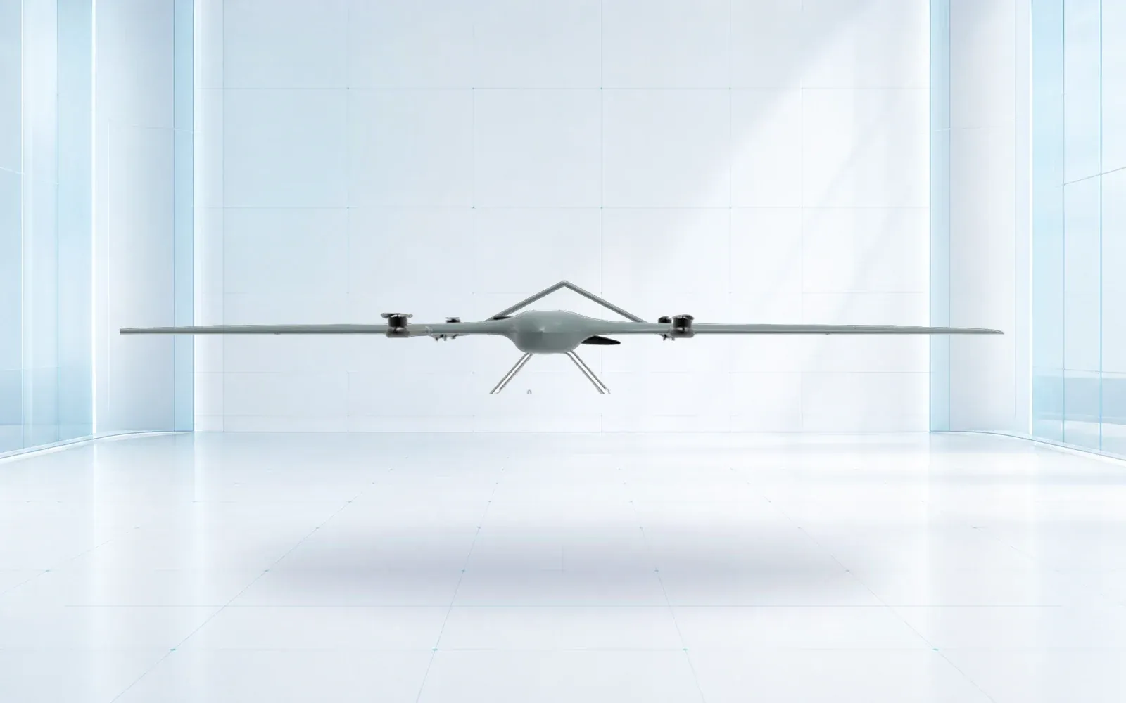
A border patrol drone creates value when it revisits a defined sector, produces location and imagery that meet a stated decision threshold, maintains communications across the route, and hands the observation to an authorized ground team in time to act. Maximum range alone does not establish that capability.
Table of Contents
- 1. Define the Patrol Decision and Sector Before the Aircraft
- 2. Match VTOL, Multirotor, and Tethered Assets to Patrol Geometry
- 3. Select Payloads by Detection, Recognition, and Identification Tasks
- 4. Design C2 and Payload Links for Terrain and Interference
- 5. Hand Off Airborne Observations to Radar, EO/IR, and Ground Teams
- 6. Set Privacy, Retention, Cybersecurity, and Authority Boundaries
- 7. Accept the System by Sector Coverage and Response Outcome
- 8. FAQs
1. Define the Patrol Decision and Sector Before the Aircraft
Divide the area into operational sectors with named boundaries, terrain, access points, fixed sensors, communications and response ownership. For each sector, state the decision the aircraft supports: route condition, object detection, track continuation, visual recognition, search after a ground alarm, or confirmation before dispatch.
Convert the decision into coverage and time. A sector may require a complete sweep every hour, a rapid cue within minutes, or persistent overwatch of one gap. Mark where an observation is expected to become visible and the latest point at which a ground team can still respond safely.
Public programs illustrate why the aircraft must sit inside a wider operation. CBP describes a small drones program, while the U.S. Government Accountability Office has emphasized broader resource and performance questions in its 2026 northern border review. Neither source supports treating flight hours as an outcome by themselves.
2. Match VTOL, Multirotor, and Tethered Assets to Patrol Geometry
Long linear routes favor efficient cruise and distributed launch or recovery points. Multirotors provide vertical access and close observation but require more energy to remain airborne. Tethered aircraft can observe one area for long periods but depend on a secure ground position and do not patrol a corridor.
| Platform role | Suitable geometry | Operational strength | Constraint to test |
|---|---|---|---|
| VTOL patrol aircraft | Long sectors with limited runways | Efficient transit plus vertical recovery | Transition, alternate recovery and route C2 |
| Multirotor | Short sectors and close confirmation | Hover and precise viewing geometry | Endurance under payload and wind |
| Tethered aircraft | Fixed crossing or temporary post | Persistent local observation and power | Tether footprint, altitude and site security |
| Ground vehicle with UAV | Moving response corridor | Repositions launch and crew | Coverage gaps during movement and setup |
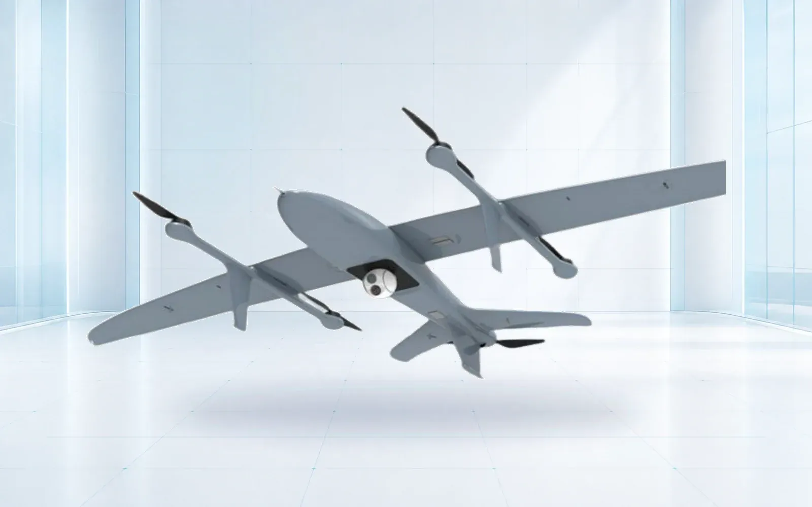
The ZJ-G20 and ZJ-G25 are reference VTOL configurations. Their usable endurance and payload must be verified in the patrol configuration, not copied from a generic platform figure.
3. Select Payloads by Detection, Recognition, and Identification Tasks
Specify the required result at the worst relevant slant range, background and lighting. A wide-area camera may detect movement while lacking pixels for recognition. A narrow field of view can support recognition after a cue but may miss the initial object. Thermal contrast can help at night, yet hot terrain, weather and similar-sized animals create ambiguity.
Define detection, recognition and identification criteria in the trial plan. Use known targets and negative controls, then have reviewers score the data without being told where every target is. Preserve the original media and metadata so later reviewers can separate sensor limitation from operator interpretation.
Do not attach legal consequence to an automated label alone. The payload should provide a confidence state and allow authorized personnel to request another view or a ground confirmation.
4. Design C2 and Payload Links for Terrain and Interference
Command and control, telemetry and payload video have different criticality. A route may keep a low-rate C2 path while losing high-rate imagery, or it may retain local recording after the payload link fails. Define the minimum service for each mission phase and the aircraft behavior below that service.
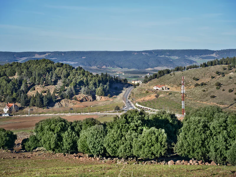
Survey terrain, antenna sites, backhaul, interference and maintenance access. Test low altitude, turns behind ridges and the handoff between links. The detailed design belongs in a resilient drone communication system, but the patrol acceptance test must observe the resulting availability and lost-link behavior.
5. Hand Off Airborne Observations to Radar, EO/IR, and Ground Teams
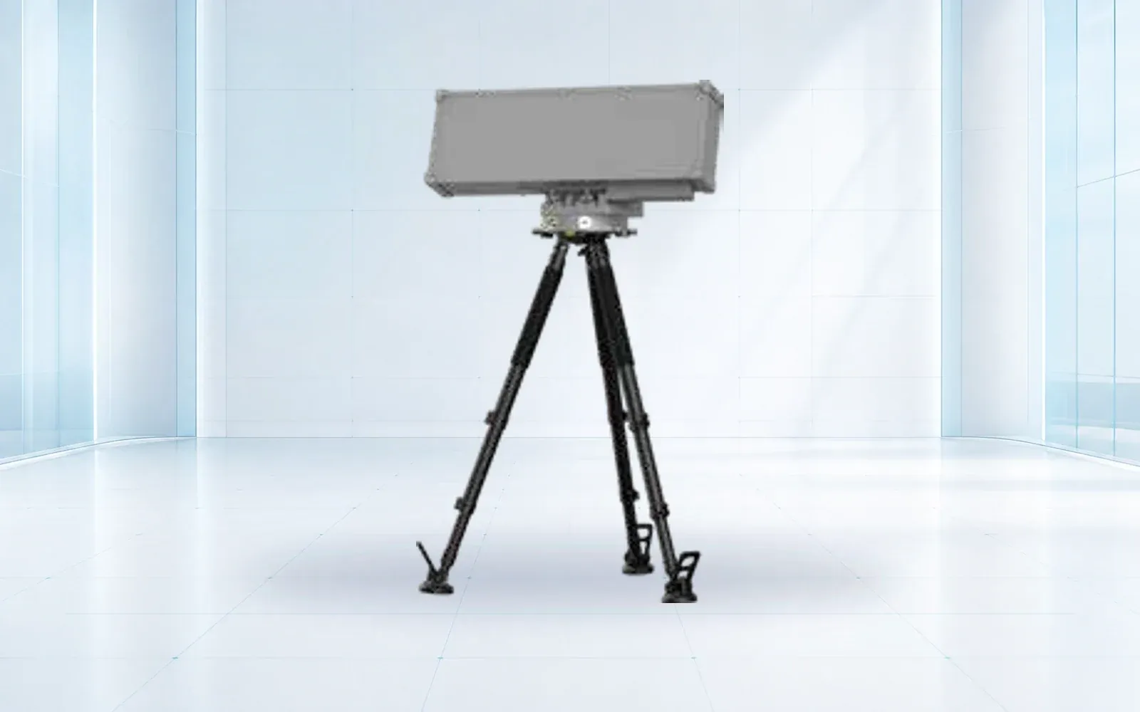
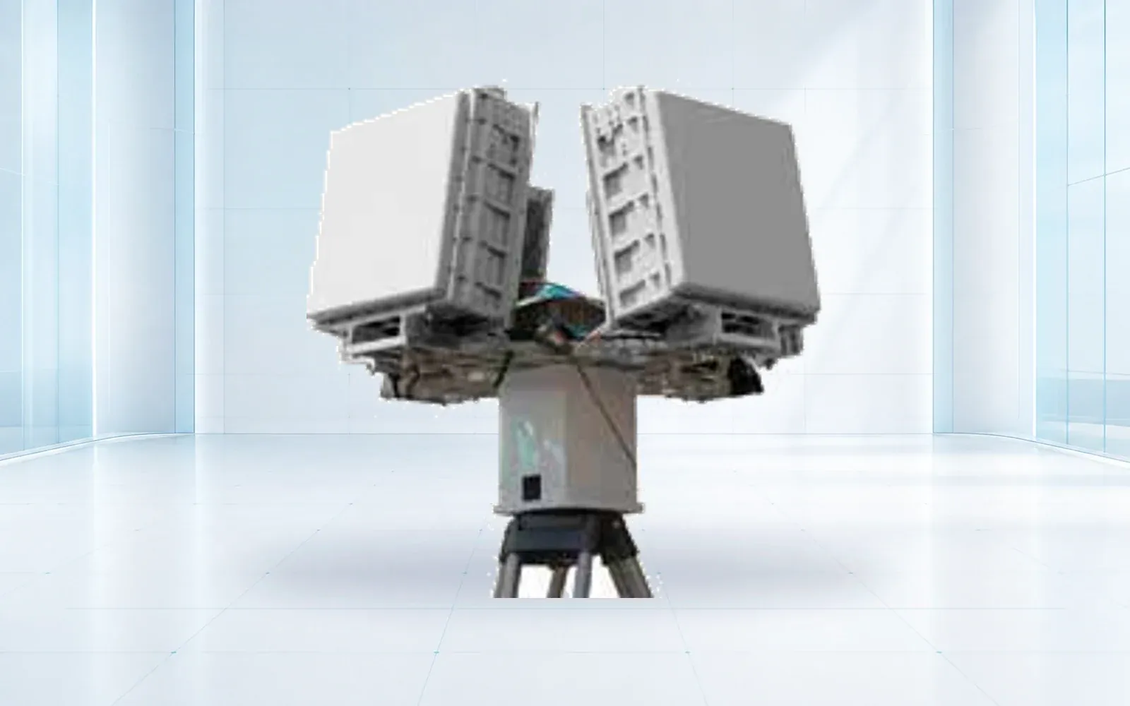
The airborne system should publish one event with time, coordinates, uncertainty, media reference, classification confidence and direction of movement. A ground radar such as the NI-R5000 may contribute a separate track; an NI-C3000 EO tracking unit may provide fixed-site visual confirmation. Fusion must preserve source identity rather than hide disagreement.
Assign handoff responsibility. The operator who discovers an event should know who acknowledged it, which sensor or unit owns the next action and when the event can be closed. Exercise handoff during busy periods and communications degradation, not only in a quiet demonstration.
The border surveillance systems guide covers the complete fixed, mobile and aerial architecture. This article keeps the aircraft accountable to that system rather than presenting it as a replacement.
6. Set Privacy, Retention, Cybersecurity, and Authority Boundaries
Document who may launch, task a payload, view live imagery, export data and request a response. Geofence areas that are outside the authorized mission where appropriate. Set retention by data class and investigation status, and record any access or export.
The applicable authority, privacy and evidentiary rules vary by jurisdiction and mission. They should be reviewed before procurement because they affect camera control, audit logs, encryption, storage region, identity management and public disclosure. The 2026 launch of a DHS UAS and counter-UAS program office is a U.S. governance signal, not a global operating rule or a product endorsement.
Require signed software, controlled updates, credential rotation, device inventory and a recovery process for a lost aircraft or storage device. Test whether the mission can continue safely when a platform service or external map is unavailable.
7. Accept the System by Sector Coverage and Response Outcome
Build a trial with known targets, unknown placements and negative activity. Measure planned versus actual coverage, revisit time, recognition results, location error, link availability, operator workload, handoff delay and safe completion. Include day, night and representative weather only within the approved test envelope.
Score the complete event: discovery, confirmation, dispatch decision, receipt by the ground unit and closure. Record misses and nuisance observations by cause. Acceptance limits should be specific to the sector; a result from flat open terrain should not be transferred to a ridge or urban crossing.
Use the border and homeland security solution to place the aircraft inside the wider architecture, and the resource library to build the sector trial. For a project review, contact OMNI UXV with the sector map, required decisions, response organization and communications constraints.
8. FAQs
Which drone type is best for a long border patrol route?
A VTOL or fixed-wing platform often suits long linear sectors, while a multirotor suits close inspection and a tethered aircraft suits persistent observation of one area. The choice depends on launch access, terrain, payload, revisit time, recovery and communications rather than route length alone.
How should a border patrol drone hand off an observation?
The handoff should include time, coordinates and uncertainty, target description and confidence, imagery or track reference, direction of movement, source platform status and the ground unit or fixed sensor that accepted responsibility.
What is the difference between detection and identification?
Detection establishes that an object may be present; recognition assigns a useful class; identification supports a more specific determination under defined criteria. Each requires different image quality, context and verification, and legal decisions should not rest on an ambiguous detection alone.
What should a border-drone acceptance trial measure?
Measure sector coverage, revisit time, target opportunities detected, recognition quality, location error, command and payload-link availability, handoff time, nuisance observations, data completeness and safe behavior during link or navigation degradation.