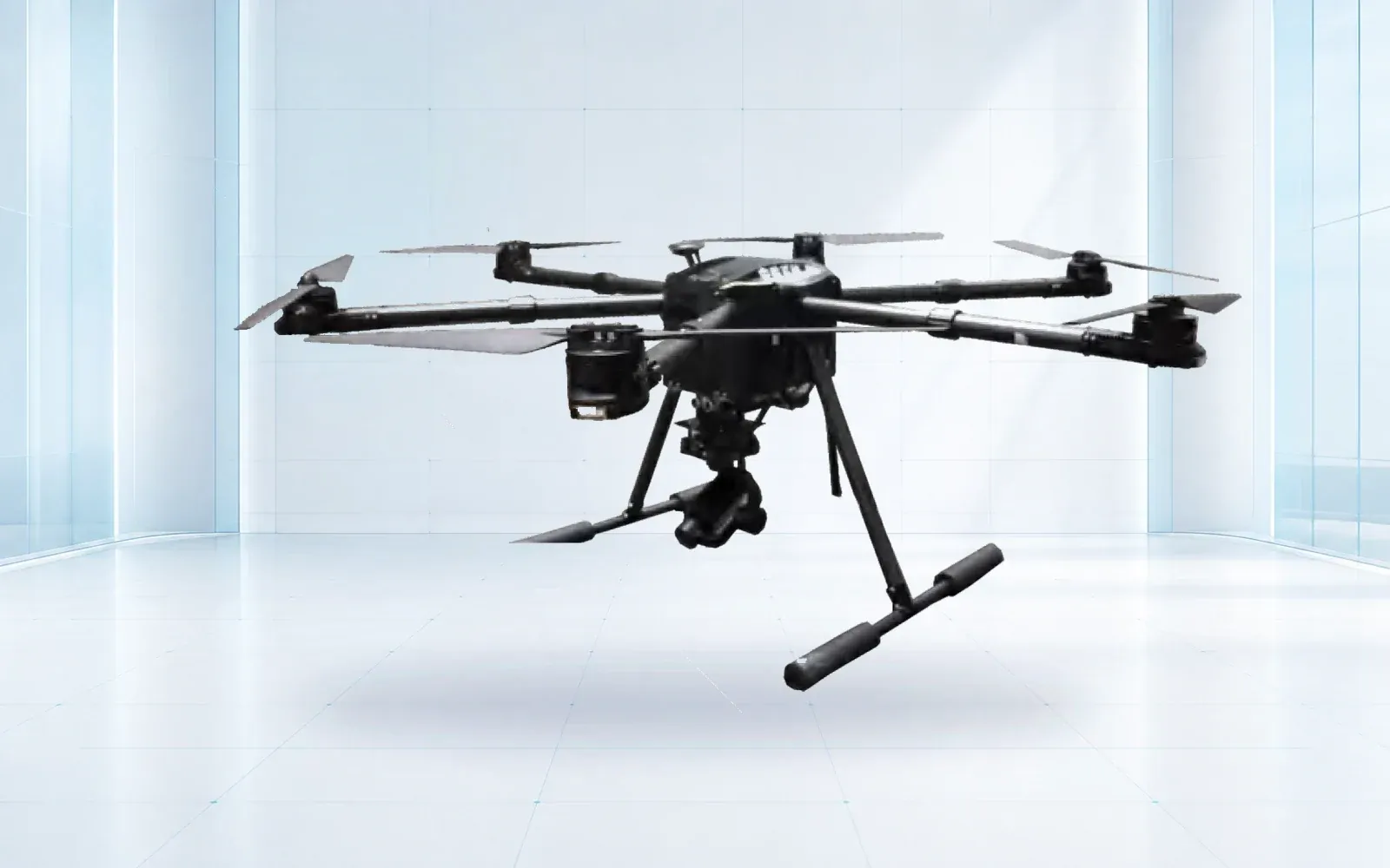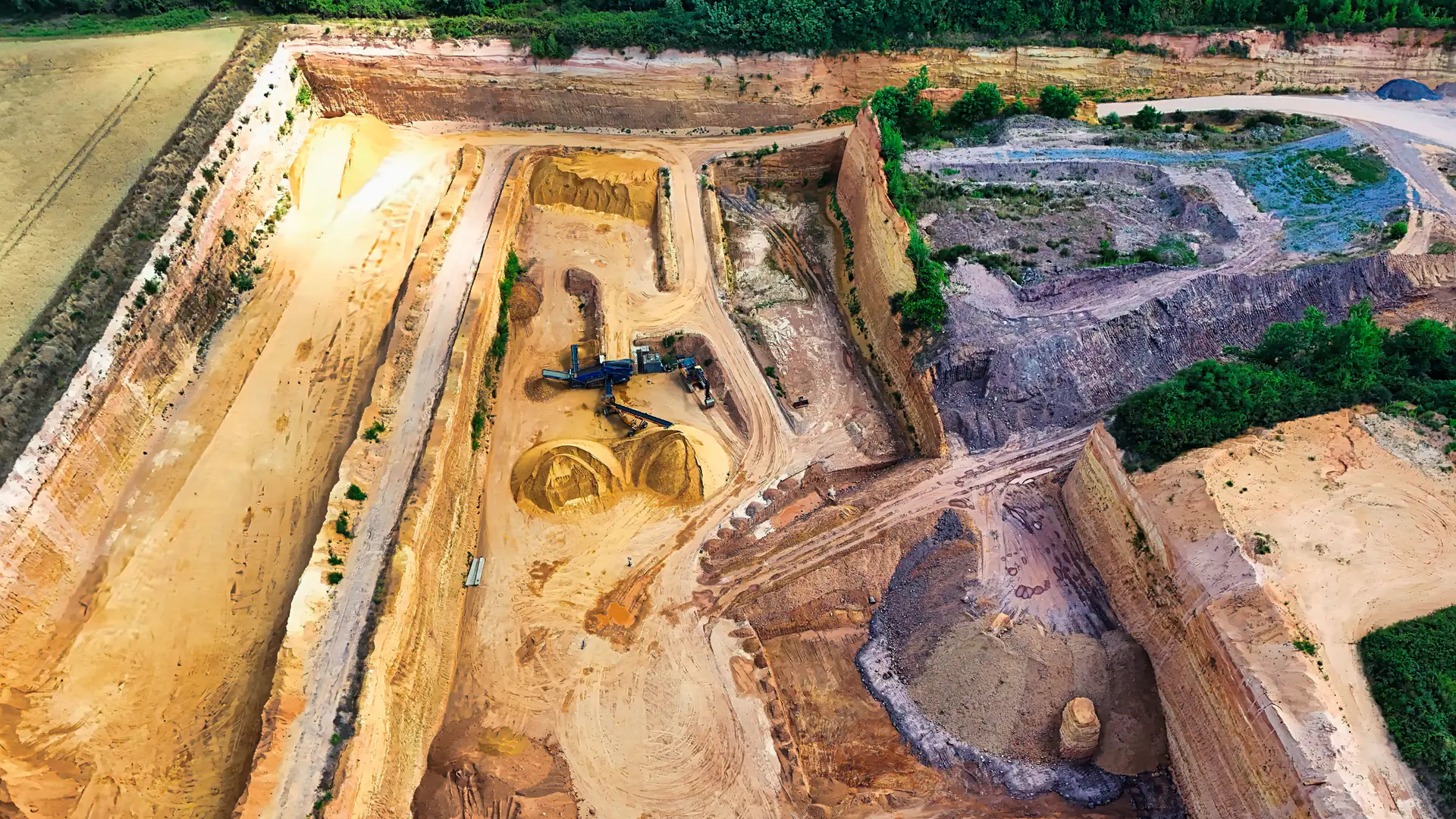
A mining UAV should be selected for a named mine decision and accepted deliverable, not for a generic promise to map or inspect. Stockpile measurement, pit mapping, highwall observation, plant inspection, and emergency assessment place different demands on aircraft, sensors, positioning, field controls, and turnaround time.
Table of Contents
- Separate Survey, Inspection, and Emergency Missions
- Define the Accepted Mining Deliverable
- Match VTOL, Multirotor, or Specialized Aircraft to the Site
- Select Payload, Positioning, and Ground Control
- Plan Dust, Wind, Terrain, Traffic, and Crew Interfaces
- Compare Vendors With a Representative Mine Trial
- Scale the Program Around Repeatable Decisions
- FAQs
Separate Survey, Inspection, and Emergency Missions
Create a mission register before evaluating aircraft. Topographic mapping and stockpile volumes favor repeatable nadir collection and control. Highwall, conveyor, crusher or structure inspection needs close or oblique views and a safe standoff. Emergency assessment prioritizes deployment speed, current context and communication to incident leadership.
For each mission, document area or asset, frequency, latest useful result, resolution or accuracy, environmental limits, launch access, interaction with haul roads and blasting, and the person who accepts the output. A platform can serve several missions, but the buyer should quantify compromises in coverage, payload and crew workflow.
Mining investment and technology are receiving renewed attention in the United States. NIOSH’s 2025 Mining Program work on critical minerals emphasizes worker safety as extraction and processing activity grows. That context supports disciplined automation, not an assumption that any drone deployment is inherently safer.
Define the Accepted Mining Deliverable
Name the file, coordinate reference, unit, resolution, accuracy, completion time and required metadata. A stockpile task may deliver a surface and volume with base definition and uncertainty. A highwall inspection may deliver georeferenced images and defect observations with inaccessible areas marked. An emergency flight may produce a rapid orthomosaic or live view followed by an archived incident record.
Specify raw images, trajectory, calibration, ground-control and checkpoint records, processing report, quality flags and exports to mine planning, GIS, maintenance or incident systems. Distinguish visualization from measurement. A visually detailed model can still contain systematic error or missing surfaces.
| Mining mission | Useful aircraft tendency | Primary payload | Acceptance unit |
|---|---|---|---|
| Large pit or site map | VTOL/fixed-wing-style coverage | Calibrated RGB or mapping sensor | Accepted mapped block |
| Stockpile volume | VTOL or multirotor by site layout | RGB photogrammetry or lidar | Accepted stockpile with checkpoint result |
| Highwall observation | Stable multirotor and oblique access | Zoom RGB, sometimes thermal | Accepted face/sector with gaps marked |
| Plant or conveyor inspection | Multirotor with controlled standoff | RGB/zoom/thermal by defect | Accepted asset inspection |
| Rapid incident assessment | Fast-deploying field configuration | RGB/thermal/context sensor | Actionable map or cue within deadline |
Use cost per accepted output. Flight time alone rewards speed even when data must be reflown or cannot enter the mine’s coordinate system.
Match VTOL, Multirotor, or Specialized Aircraft to the Site
Compare usable coverage with the installed payload, reserve and mine elevation. Model launch and recovery space, terrain masking, radio path, relocation time and vehicle access. A VTOL design can cover broad areas without a runway; a multirotor supports hovering, oblique imaging and tighter work zones.
If VTOL remains the preferred architecture, carry the mine scenario into the VTOL supplier and acceptance guide so endurance, reserve, communications and deliverable performance are verified with the installed payload rather than borrowed from a generic aircraft specification.
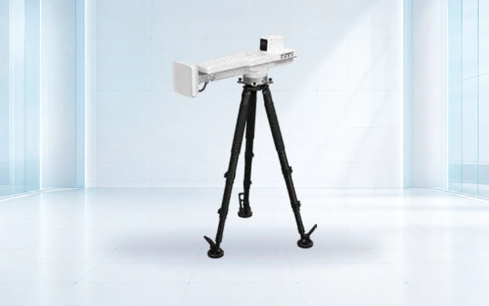
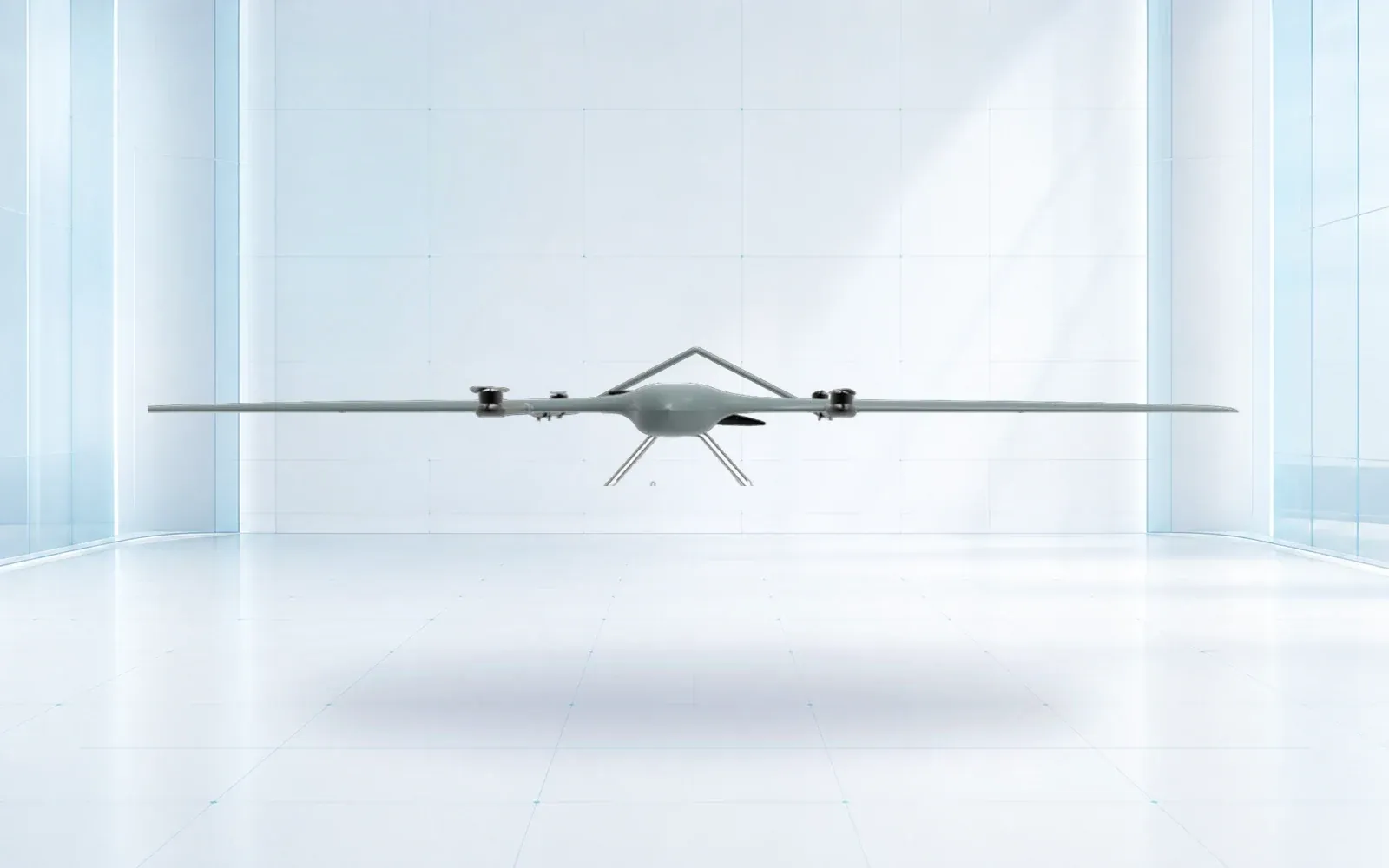
The ZJ-G25 VTOL is a reference for wider-area missions, while the F4 waterproof multirotor represents closer inspection and demanding field conditions. The Hawk R5 is a ground-based deformation-monitoring reference, useful when continuous slope observation is the requirement rather than another aerial survey. Confirm interfaces and performance for each delivered configuration.
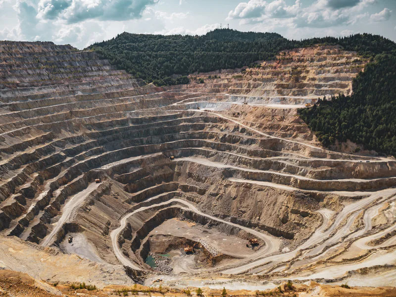
The U.S. FAA Part 107 overview provides a current starting point for small-UAS limits. Mine ownership does not remove airspace, visual-line-of-sight or other applicable requirements. Larger systems and advanced operations need separate review.
Select Payload, Positioning, and Ground Control
Select ground sampling distance and lens from the smallest feature or measurement needed, then size altitude and coverage. Thermal is valuable only when the defect changes observable temperature under a planned operating condition. Lidar can support certain surfaces or vegetation conditions, but scan geometry, reflectance, trajectory and control still affect the output.
RTK and PPK improve trajectory positioning but do not eliminate camera calibration, poor geometry or the need to verify the result. Define permanent control, temporary targets and independent checkpoints according to accuracy and access. Keep checkpoints out of adjustment so they can test the delivered model.
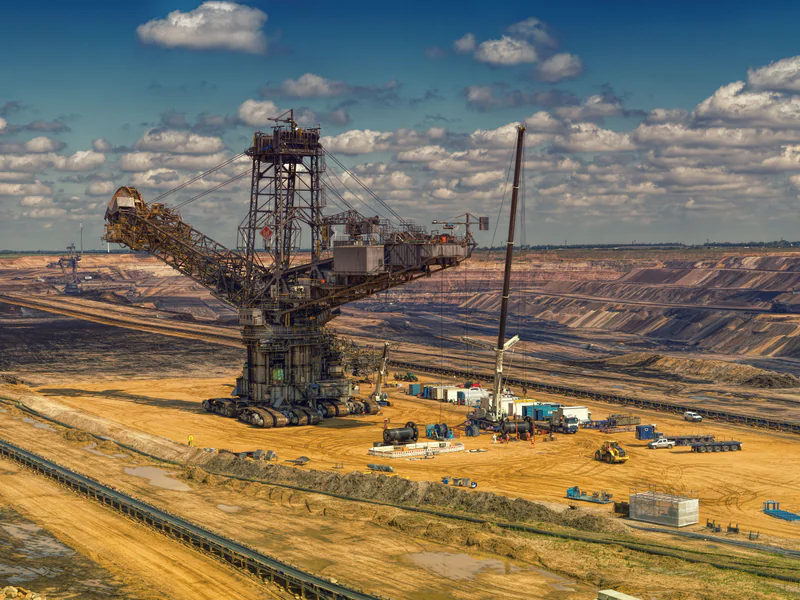
Require sample raw and processed data from comparable terrain. Test coordinate transformation and export into the buyer’s system before award. The RTK-versus-PPK guide provides a deeper positioning comparison without replacing a project accuracy plan.
Plan Dust, Wind, Terrain, Traffic, and Crew Interfaces
Dust reduces optical contrast, contaminates lenses and propulsion, and can change visibility rapidly. Wind and terrain create turbulence and reserve penalties. Elevation changes battery and payload performance. Define measurable stop limits and a process for cleaning, inspection and invalidating affected imagery.
Integrate flights with dispatch, haul roads, blasting, plant operations and emergency procedures. Mark takeoff and landing zones, establish communications, control access and define who can stop the flight. Lost-link or automated return paths must not cross active hazards without review.
NIOSH describes an ongoing Mining Automation and Emerging Technologies partnership focused on safety implications of new technology. Treat the UAV as one participant in the mine system: human factors, task interaction and change management belong in the operating case.
Compare Vendors With a Representative Mine Trial
Define acceptance units that match how the mine will use the result:
| Mission | Acceptance unit | Independent check | Failure that must be reported |
|---|---|---|---|
| Stockpile or surface survey | Completed area and accepted surface/volume record | Checkpoints, repeat survey or survey-control comparison | Missing faces, weak geometry or base-definition sensitivity |
| Highwall or structure inspection | Inspected asset segment with georeferenced observations | Known features and qualified visual review | Occluded or unsafe-to-observe areas presented as complete |
| Haul-road or operational mapping | Delivered corridor/area within the decision deadline | Surveyed controls and map/version comparison | Traffic interruption, stale result or broken coordinate handoff |
| Emergency assessment | Time to usable incident view and archived record | Incident-team acknowledgement and location check | Link shadow, incomplete coverage or ambiguous location |
Score each mission independently. A system that passes a broad-area mapping trial has not thereby proven close inspection, rapid response or work near active haul routes.
Use one survey block and one inspection asset that reflect normal difficulty. Provide required deliverables and site rules, but keep selected checkpoints or target conditions blind. Run the complete supplied field kit and proposed processing workflow, not a specialist demonstration kit that will not be delivered.
Score deployment time, coverage per move, battery logistics, link, invalid images, checkpoint accuracy, completeness, processing turnaround, file compatibility, reporting and safe coordination. For inspection, use independently reviewed findings and mark surfaces that could not be assessed.
Test degraded cases: dusty lens, loss of corrections, network outage, wind stop, battery exception and software reprocessing. The proposal should say how the system identifies unusable data and who owns reflight or retest.
Scale the Program Around Repeatable Decisions
Normalize bids to annual accepted maps, stockpiles or inspections. Include aircraft, payload, positioning equipment, field power, spares, software, training, support, calibration, travel and downtime. Decide which work should be routine in-house and which specialized missions justify a service provider.
Use the mining safety monitoring solution to connect aerial data with slope, asset and incident workflows, and compare configurations in the industrial UAV category. The mine-safety integration guide shows where these data enter the wider operating picture, while the product catalog supports a normalized RFI. For a mission register and representative mine acceptance trial, contact OMNI UXV with site area, decisions, deliverables, coordinates, operating schedule and hazards.
FAQs
Which type of UAV is best for a large open-pit mine?
A VTOL or fixed-wing-style platform can be efficient for wider areas, while a multirotor is often better for close and oblique inspection; the accepted deliverable and launch constraints determine the choice.
Does every mining drone survey require RTK positioning?
No. RTK, PPK, ground control and checkpoints are tools selected to meet the required accuracy, traceability, site access and coordinate-system workflow.
How should buyers compare mining drone prices?
Compare the configured aircraft, payload, positioning, field kit, software, training, support, annual workload and cost per accepted survey or inspection, not the bare airframe.
What should a mining UAV site trial include?
Use representative mine terrain and operations to score safe deployment, coverage, accuracy, missing data, turnaround, traffic coordination, environmental limits and delivery into mine systems.