The LiDAR versus photogrammetry decision starts with the surface you need, not a contest between sensor specifications. Photogrammetry reconstructs surfaces visible in overlapping images; LiDAR measures laser returns and can sometimes obtain ground observations through gaps in vegetation. Neither method guarantees a complete, accurate terrain model without suitable acquisition, processing and independent checks.
Table of Contents
Define Which Surface the Survey Must Represent
The same site can require an orthomosaic, a digital surface model, a bare-earth terrain model and a stockpile volume report. Those are not interchangeable products. A model of the canopy may be accurate as a description of treetops and still be unusable for designing drainage beneath them.
List the features the client needs to measure. Include ground under vegetation, building edges, steep faces, exposed material, water boundaries and small structures. Mark where missing observations would invalidate a decision. This turns sensor selection into a coverage problem that a trial can answer.
Also distinguish a visual record from a measurement product. An attractive textured model helps people understand a site, but it does not prove that a retaining wall is correctly positioned or that an obscured channel has been measured.
The USGS next-generation 3DEP discussion describes evolving demand for elevation data and repeat acquisition. That wider context supports a procurement question: what must remain comparable when this site is surveyed again? It does not mean a particular drone or payload automatically meets USGS specifications.
How the Two Methods See the Site
Photogrammetry uses corresponding features in overlapping images to reconstruct geometry. It benefits from suitable texture, stable exposure, sufficient overlap and viewpoints that reveal the required surface. Repetitive patterns, blur, moving foliage and reflective surfaces can weaken the reconstruction.
LiDAR estimates ranges from laser returns. With positioning and orientation information, those returns form a three-dimensional point cloud. Some pulses may reach the ground through canopy gaps, but the laser does not make solid leaves transparent. A bare-earth product still depends on usable ground returns and sound classification.
Both methods require geometry beyond what appears in a single image or scan. A wall hidden from every camera view cannot be reconstructed reliably from the surrounding scenery. A terrain patch with no usable laser returns cannot become observed ground merely because software interpolates across it.
Separate the sensor question from positioning
A payload’s observations must be located in the required reference system. RTK, PPK, calibration and control belong to that positioning and validation chain. They do not remove visibility limits. The RTK versus PPK guide explains correction workflows separately so the two decisions do not get collapsed into one specification.
Vegetation, Water and Low-Texture Surfaces
A vegetated site is not one uniform condition. Sparse trees over open ground differ from dense canopy over shrubs. Ask for the distribution of classified ground observations, not only the total point count. Identify areas where the terrain model depends heavily on interpolation.
Water needs its own scope. Conventional topographic LiDAR and ordinary aerial photogrammetry should not be assumed to measure a submerged bed. Optical water conditions, wavelength and acquisition design matter, and some projects require a different survey method altogether. A water surface rendered in a model is not proof of bathymetry.
Low-texture roofs, uniform surfaces and repeated industrial patterns can be difficult for image matching. LiDAR may help with geometric measurement in some of those settings, but reflective or poorly returning surfaces can also cause gaps and artifacts. The appropriate answer is a tested combination, not a universal winner.

Use a Task-Based Comparison
| Required output | Photogrammetry consideration | LiDAR consideration | Evidence to request |
|---|---|---|---|
| Visual orthomosaic | Strong fit when imagery and geometry are suitable | Usually needs imagery in addition to range data | Seam quality, alignment, resolution and exclusions |
| Bare-earth terrain under vegetation | Ground must be visible in enough images | Ground returns may pass through gaps, but coverage varies | Ground-return distribution and independent terrain checks |
| Exposed stockpile volume | Surface texture and stable geometry matter | Range coverage and calibration matter | Repeatability, boundary definition and common reference |
| Complex industrial geometry | Requires views of relevant faces and edges | Requires scan coverage and a defensible registration | Occlusion map and feature-level checks |
| Repeat change survey | Lighting and vegetation can change the reconstruction | Surface returns and registration can change between epochs | Comparable acquisition, uncertainty and change threshold |
For an exposed aggregate stockpile with good texture, a camera workflow may satisfy the requirement economically. The practical risks may be boundary definition, material movement during acquisition and inconsistent reference coordinates rather than the absence of LiDAR.
For a vegetated slope, the priority may instead be how much ground is actually observed and how the missing areas affect drainage or stability interpretation. Paying for a denser canopy cloud would not solve that problem. These are illustrative decision patterns, not results from an OMNI field trial.
USGS has published an accuracy analysis from a dual photogrammetric and LiDAR sensor pilot project. Its value for a buyer is the disciplined comparison of outputs and independent evidence. Results from one acquisition should not be converted into a universal accuracy claim for every payload or landscape.
Budget for Control, Processing and Rework
Compare the full cost of an accepted product. Include acquisition, survey reference work, calibration, classification, manual review, software, storage and potential revisit. A fast flight can still leave a slow and expensive processing task.
Point density and accuracy are different properties. More points may improve feature representation while leaving a systematic position error unchanged. Likewise, a small image ground sampling distance does not by itself establish the accuracy of a final surface.
Specify the applicable standard and version. The USGS accuracy update documents changes in the adopted ASPRS framework, including reporting terminology and checkpoint uncertainty. Do not mix an older overview table with a newer conformity statement without reconciling the requirements.
For repeated monitoring, preserve raw observations and processing settings. Otherwise an apparent surface change may partly reflect a different classification or reference transformation. The agricultural data-quality guide discusses repeatability in another application; the principle of comparing like with like also applies here.
After the sensing method is chosen, use the mapping-drone selection guide to compare airframe, positioning, processing, and accepted field-day economics without reopening the lidar-versus-imagery decision.
Pilot the Difficult Part of the Site
A pilot should include the surfaces most likely to determine the choice. Evaluate the proposed deliverables against the same reference system and an agreed independent check design. Record acquisition time, processing effort, uncovered areas and the amount of manual intervention.
Inspect deliverables in the software used by the receiving team. Confirm units, coordinate references, classification conventions and file compatibility. Ask the actual user to perform a representative measurement rather than accepting only the supplier’s screenshots.
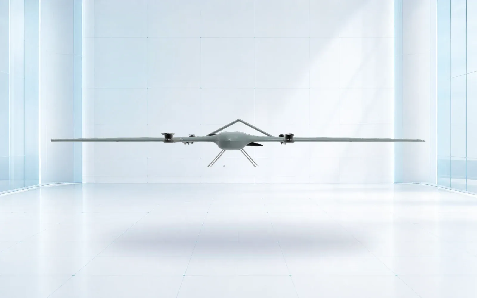
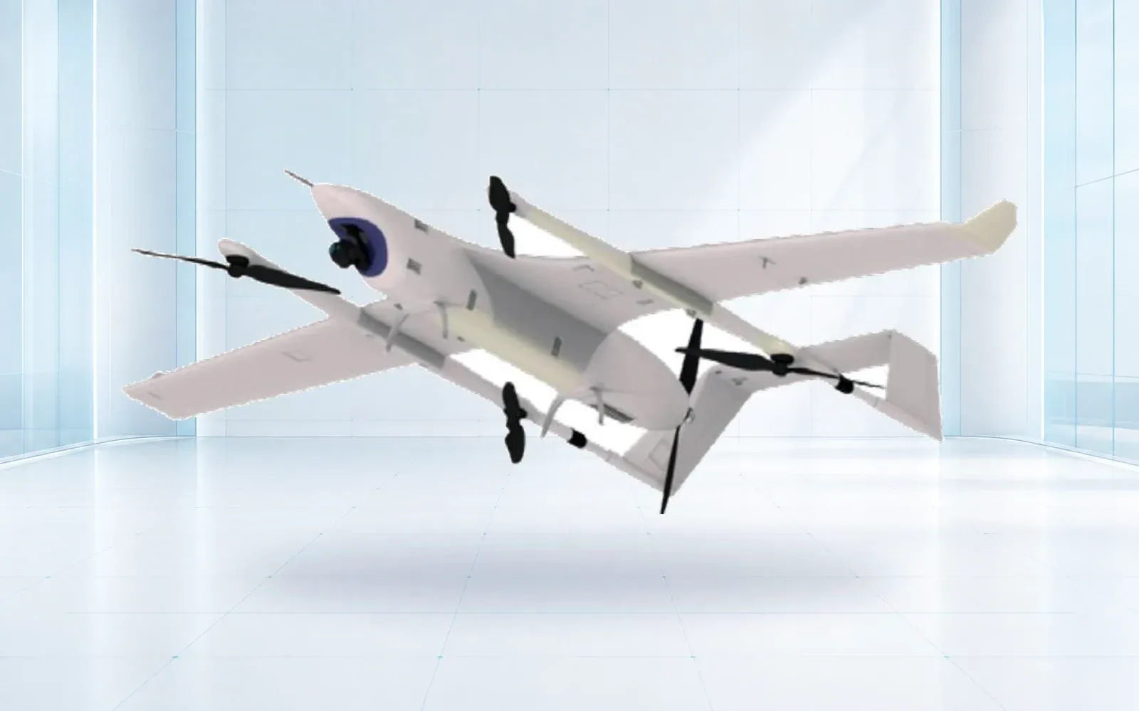
The industrial UAV category includes survey-oriented aircraft such as the ZJ-G25. Payload integration, calibration and deliverables still require their own specification. For a mining monitoring application, connect the survey to the site’s engineering question rather than treating the flight as the finished service.
Use the product catalog to identify configuration candidates. To compare acquisition approaches, send OMNI UXV a sample area, the surfaces that must be measured and the required output accuracy.
FAQs
Is LiDAR always more accurate than photogrammetry?
No. Accuracy depends on the sensor configuration, acquisition geometry, positioning, calibration, surface conditions and processing. Compare verified deliverables from representative terrain rather than treating the sensor category as an accuracy guarantee.
Can LiDAR see the ground under any forest canopy?
No. Ground returns depend on laser paths through gaps in the vegetation. Dense foliage, understory, terrain geometry and acquisition conditions can leave insufficient ground observations. Classification and a coverage assessment are still required.
Does a denser point cloud prove a better survey?
No. A dense cloud can contain repeated surface observations, noise or systematic offsets. The relevant questions are whether the required surface was observed, whether it was classified correctly and whether independent checks support the claimed accuracy.
When is a combined LiDAR and camera survey useful?
A combined survey can provide geometric measurements and visual context, particularly where terrain and asset interpretation are both needed. It also requires coordinated timing, calibration, positioning and processing, so the added data must justify the added complexity.