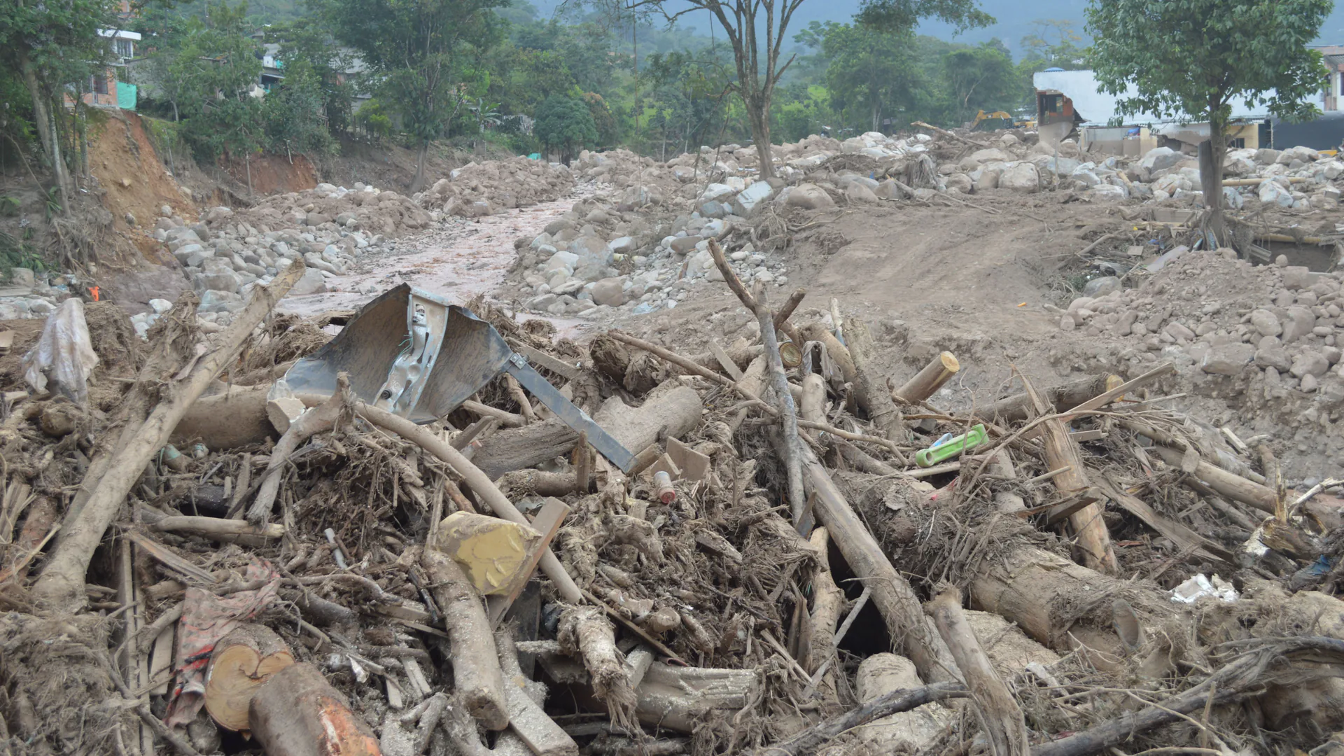
A debris-flow monitoring system must distinguish conditions that make a flow more likely from evidence that a flow is actually moving through a channel, while preserving enough warning time for a defined protective action. Rainfall, ground movement, channel sensors, communications, and road control are different layers of that decision—not interchangeable alarm sources.
Table of Contents
- Define the Hazard Reach and Protective Action
- Separate Initiation Indicators From Flow Confirmation
- Place Sensors Around Terrain and Warning Time
- Design Communications, Power, and Health Supervision
- Build Warning States and Road-Closure Authority
- Preserve Event Evidence and Reopen Safely
- Test the Full Chain Before the Hazard Season
- FAQs
Define the Hazard Reach and Protective Action
Map the source areas, flow paths, tributaries, constrictions, fan, road crossings, facilities, communities, escape routes, and downstream consequences. Define whether the system protects a road, work site, community, reservoir, railway, or other asset. The protective action determines the required warning time, confidence, communication path, and authority.
Separate three questions: are initiation conditions developing, has material begun to move, and has a flow passed a location? Rainfall and soil or slope conditions can support the first. Ground vibration, in-channel radar, stage, acoustic, geophone, wire or barrier, camera, or other event sensors can support the latter two. Their usefulness depends on terrain, flow behavior, weather, debris, and placement.
The USGS debris-flow monitoring and warning review distinguishes sensors for initiation conditions from sensors that measure flow dynamics. Preserve that separation in requirements and the user interface so an elevated rainfall condition is not displayed as a confirmed channel event.
| Monitoring layer | Typical observation | Decision it may support | Critical limitation |
|---|---|---|---|
| Initiation potential | Rainfall, soil or slope state, forecast or threshold | Watch, staffing, readiness, increased observation | Does not confirm a moving flow |
| Channel event detection | Motion, vibration, range, stage, acoustic or visual change | Confirm passage at a sensor section | Detection occurs only after flow reaches that section |
| Downstream verification | Second station, camera, stage or impact evidence | Direction, persistence, escalation | May reduce available action time |
| System health | Heartbeat, power, communications, signal quality | Trust, degraded operation, maintenance | Healthy electronics do not prove hazard absence |
Write the action table with the responsible agency. Include readiness, field warning, road gate or signal operation where authorized, dispatch, public message, emergency coordination, and reopening. A sensor supplier can implement outputs, but should not create public-safety authority.
Separate Initiation Indicators From Flow Confirmation
Rainfall thresholds are location- and condition-specific. Burn severity, time since fire, storm intensity and duration, soil, slope, channel storage, antecedent moisture, and changing vegetation can affect the relationship. The USGS FlowAlert project describes rain gauges within four kilometers of burn perimeters and rainfall thresholds as part of its warning approach. That example is evidence for calibrated networks—not a universal four-kilometer design rule.
Initiation monitoring can extend readiness time but may generate watches without a flow. Channel detection provides stronger event evidence but consumes travel time between source and sensor. Combining the two can create staged decisions: prepare on initiation potential, confirm or escalate on channel evidence, and issue downstream actions according to consequence and authority.
Choose independent sensing where false or missed events have high consequences. Two identical devices sharing the same pole, power supply, radio path, and failure mechanism are not fully redundant. Independence may come from different locations, physical modalities, power paths, or communications networks.
Avoid a generic AI score that hides the evidence. If a model combines rain, radar, vibration, and camera data, preserve the underlying observations, version, thresholds, missing-data handling, and reason for each state change. Operators need to distinguish an actual multi-sensor event from a model output dominated by one failing channel.
Place Sensors Around Terrain and Warning Time
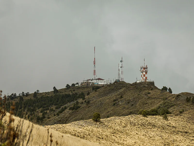
Work backward from the protective action. Estimate detection-to-decision time, message and acknowledgment time, field-device activation, traffic clearance, and a safety allowance. The detection cross-section must be far enough upstream to preserve that time under credible flow speeds, yet close and geometrically suitable enough to observe the event reliably.
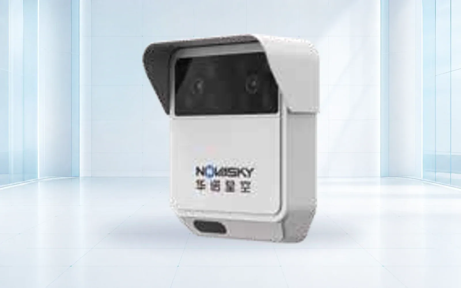
Survey channel width, bends, gradient, banks, vegetation, boulders, bridges, culverts, sediment, possible avulsion, and line of sight. A radar aimed at a stable wall or moving vegetation may produce a strong signal unrelated to the channel. A low sensor may be destroyed by the event; a high sensor may lose sensitivity to the target. Installation design must consider both evidence and survivability.
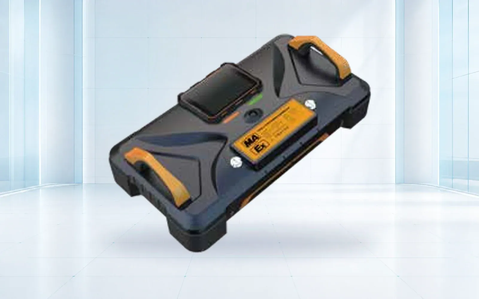
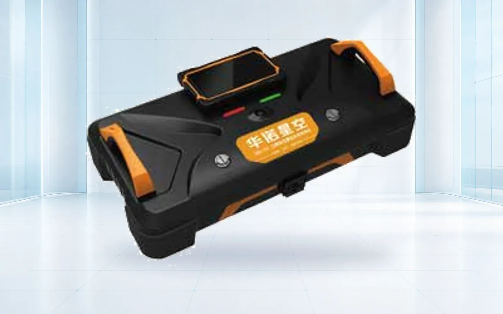
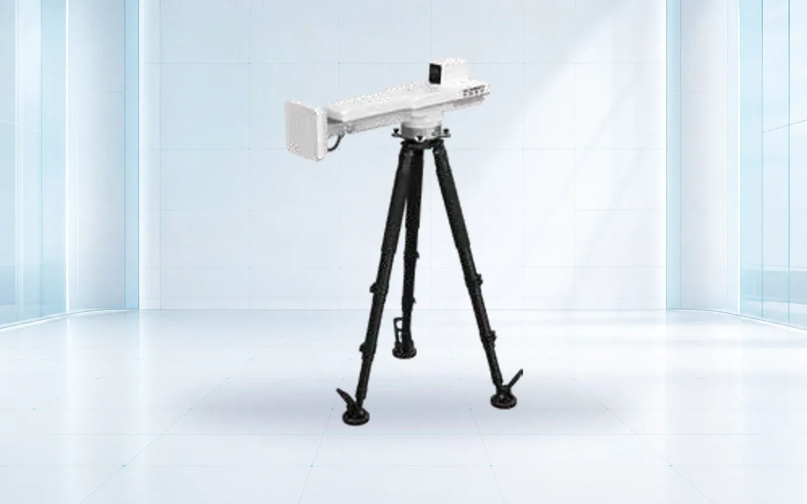
The HAWK-R0D debris flow monitoring radar is a reference sensor for an in-channel layer. The HAWK-R5 slope monitoring radar is a reference for broader ground-movement observation where geometry and validated performance fit. Neither device alone defines an early-warning system; site layout, health monitoring, logic, authority, and response remain necessary.
Document coordinates, elevation, orientation, beam or observation area, channel section, blind zones, expected event signature, nuisance sources, service access, and post-event survivability. Reassess after erosion, deposition, vegetation growth, construction, wildfire, or channel migration.
Design Communications, Power, and Health Supervision
Hazard sites often lack utility power and stable terrestrial communications. Calculate the energy budget for sensing, heating or cooling, computing, normal telemetry, event-rate transmission, local warning devices, and seasonal solar conditions. Define minimum backup duration and load-shedding priorities. A battery percentage without load and temperature context is not a power assurance.
Use local buffering so network loss does not erase event evidence. If protective action depends on remote control, define alternate paths, local autonomous behavior where authorized, and the safe state of gates, signs, or beacons. Supervisory messages should report data freshness, sensor quality, enclosure or tamper state where relevant, power, storage, clock, and communications.
Create distinct states for healthy and quiet, watch, confirmed or probable event, degraded, unavailable, maintenance, and post-event recovery. A failed channel should never be rendered as a zero measurement. If the system cannot support the approved protection while degraded, the response plan should define compensating patrols, closure, or other measures.
Time synchronization matters across upstream and downstream stations. Preserve clock source, uncertainty, communication delay, trigger time, receipt time, operator acknowledgment, field-output activation, and any public-message time. Those records are essential for measuring warning performance after a test or event.
Build Warning States and Road-Closure Authority
Use a state machine with explicit entry, persistence, escalation, exit, and reset conditions. A watch may arise from forecast or rainfall. A warning may require channel evidence or an owner-approved multi-sensor combination. An alarm may trigger a road device, operations center action, emergency notification, or evacuation procedure according to the agency plan.
Define manual and automated authority separately. An automatic sign or barrier can reduce delay but introduces its own failure and traffic risks. Specify interlocks, local confirmation, remote status, manual override, fail state, conflicting indication detection, and how road users already inside the protected segment are handled.
The National Weather Service’s debris-flow information illustrates the public-warning context, while the USGS landslide monitoring page cautions that provisional data should not be the sole basis for public-safety decisions. Translate that caution into qualified review, multiple evidence layers, and an approved agency decision process.
Messages should say what is known: threshold exceeded, possible initiation conditions, channel event detected at station A, confirmation pending, sensor network degraded, road device active, or all-clear authorized. Avoid presenting “debris flow detected” when the actual input was only heavy rainfall.
Preserve Event Evidence and Reopen Safely
Retain pre-trigger, trigger, and post-trigger observations from every sensor, original images or video, processing outputs, device health, time records, configuration version, warnings, deliveries, acknowledgments, operator actions, and field-device status. Protect the record from later model or threshold changes.
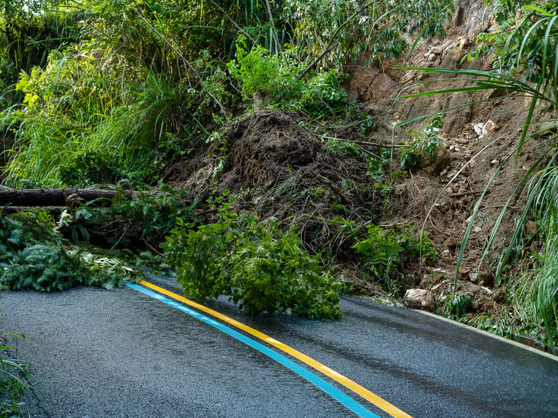
After an event, expect sensor damage, changed geometry, deposition, blocked access, and false normal readings. Recovery is not simply clearing an alarm. The responsible agency should inspect the route or channel, verify sensor geometry and health, assess residual hazard, reset field devices, and authorize reopening under its plan.
Conduct an after-action review for true and false events. Compare expected and observed arrival, detection, communication, decision, and action times. Classify missed triggers, nuisance triggers, data gaps, and operator ambiguity. Update thresholds or models only through controlled validation; do not tune them to one event and assume wider validity.
The landslide early-warning system design guide covers slower slope-deformation trends and multi-sensor escalation. Use it for the neighboring hazard class while keeping rapid channel-event logic in this article. The disaster and emergency response solution provides the wider response-integration context.
Test the Full Chain Before the Hazard Season
Commission survey, sensor alignment, target response, power budget, backup, communications, local buffering, time synchronization, health states, warning logic, operations-center display, messages, field devices, acknowledgment, and record retention. Use safe simulated or controlled targets appropriate to each sensing modality.
Exercise rainfall-watch input, channel-sensor trigger, upstream-only and downstream-only triggers, contradictory sensors, nuisance motion, heavy rain without flow, network loss, primary-power loss, clock error, stuck field device, missing acknowledgment, damaged station, and post-event reset. Include the agencies and operators who actually own the action.
Measure detection probability for defined targets, nuisance rate, coverage, warning time, end-to-end latency, health-state accuracy, message delivery, operator interpretation, field-device response, data completeness, and recovery time. Acceptance should document remaining blind zones and the compensating controls.
Review the deformation monitoring category and technical resources, then contact OMNI UXV with the hazard map, flow scenarios, protective action, minimum warning time, candidate sensor sections, communications constraints, authority matrix, and test cases.
FAQs
Is a rainfall threshold enough for debris-flow warning?
Rainfall can indicate initiation potential, especially in calibrated burn areas or basins, but it does not by itself confirm that a flow is moving through a channel. Consequence and warning-time needs determine whether channel confirmation or other evidence is required.
Where should debris-flow radar or channel sensors be installed?
Place them where the channel geometry supports reliable observation and enough downstream warning time remains for the protective action. Avoid selecting a convenient location that detects the flow only after it reaches the road or facility.
How should a system distinguish no debris flow from sensor failure?
Supervise power, communications, heartbeat, data freshness, signal quality, enclosure condition, and redundant or independent observations. Healthy and quiet, degraded, unavailable, and event states must be separate.
Can a monitoring vendor automatically order a road closure?
Closure authority belongs to the responsible agency and its approved plan. The system should deliver the agreed evidence and warning state, while the plan defines automated field devices, operator verification, public messaging, reopening, and exception handling.