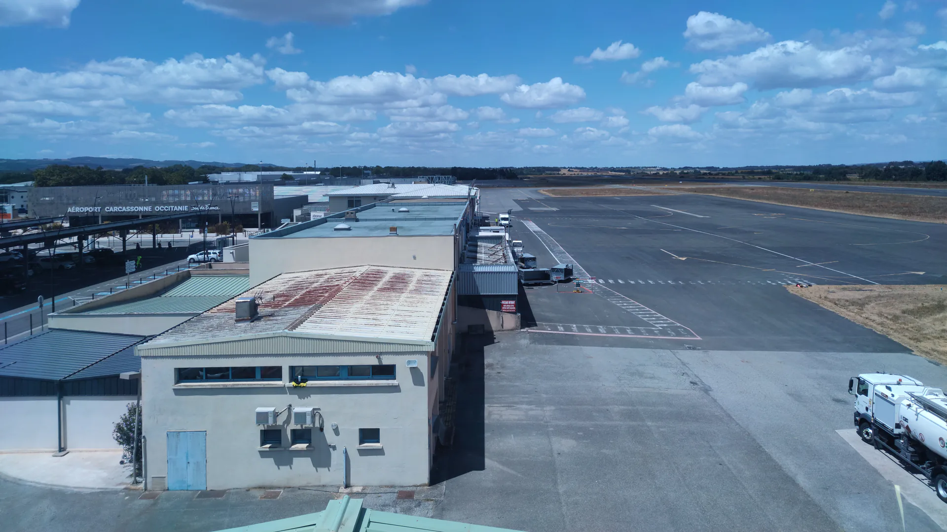
Airport drone detection is a detection-and-response problem inside a safety-critical aviation environment. The system must observe relevant low-altitude sectors without creating radar, spectrum, siting, or operational hazards; express uncertainty without claiming intent; and route evidence to airport, air traffic, law-enforcement, and federal partners under clearly defined authority.
Table of Contents
- Define the Airport Decision and Authority Boundary
- Model Airspace, Surfaces, Clutter, and Required Coverage
- Assign RF, Radar, Remote ID, and EO Roles
- Site Sensors Without Creating Aviation or Spectrum Hazards
- Fuse Alerts Without Claiming Identity or Intent
- Build the Airport-to-Agency Response Workflow
- Test Detection, Nuisance Rate, Latency, and Degraded Modes
- FAQs
Define the Airport Decision and Authority Boundary
List the decisions the airport needs to support: verify a report, maintain a track, advise air traffic, notify operations, request law-enforcement response, preserve evidence, or coordinate with an authorized federal entity. For each decision, define the minimum evidence, recipient, maximum useful latency, and authority.
The FAA’s current page on UAS detection, mitigation, and response at airports is the primary design starting point. It distinguishes detection from mitigation, warns that detection does not establish intent or threat, and asks airports to coordinate detection-only plans before procurement and installation. Make those boundaries visible in requirements and operator training.
| System output | What it may support | What it does not prove | Primary owner |
|---|---|---|---|
| Radar track | Object trajectory and kinematics within tested limits | Object identity, authorization, or intent | Detection operator and fusion system |
| RF or Remote ID observation | Supported signal, message, or direction information | Complete coverage of silent, unsupported, or manipulated targets | Detection operator and authorized investigator |
| EO image or track | Visual characteristics and evidence where resolvable | Legal identity or hostile intent by appearance alone | Trained operator and evidence custodian |
| Fused alert | Correlated observations and confidence | Authority to interfere with the aircraft | Airport and responding agencies under the plan |
Separate detection-only operations from mitigation. The FAA states that it supports UAS mitigation use only by federal departments with explicit statutory authority. Do not put jamming, takeover, spoofing, or kinetic action into an airport procurement merely because a platform menu offers it.
Model Airspace, Surfaces, Clutter, and Required Coverage
Map runways, approach and departure paths, movement and non-movement areas, terminal and cargo zones, navigation and surveillance facilities, towers, hangars, roads, rail, water, public areas, property boundary, likely launch areas, terrain, and off-airport gaps. Use operational stakeholders to identify decisions that vary by sector.
Define target and track requirements by sector, altitude, range, speed, approach geometry, and time. Coverage should be expressed as tested probability and track quality for defined target classes and conditions, not a circle copied from a datasheet. Buildings, ground vehicles, birds, weather, rotating machinery, multipath, spectrum congestion, and legitimate aircraft all affect performance.
Model line of sight in three dimensions. A sensor on the highest available roof may see farther but can complicate siting, maintenance, aviation surfaces, grounding, wind loading, and cable routes. Distributed lower sensors may reduce shadowing but increase fusion, timing, communications, cybersecurity, and maintenance requirements.
Use the airport’s actual event history and exercises where available, but do not train only on prior locations. A system should address plausible approaches and uncertainty outside the property line while respecting legal, privacy, and coordination constraints.
Assign RF, Radar, Remote ID, and EO Roles
Active radar can observe non-cooperative objects within its tested target and clutter envelope. Passive RF can detect and characterize supported control or telemetry signals without transmitting, but it cannot see a silent aircraft or every protocol. Remote ID can provide broadcast data from compliant equipment, but absence of a message is not proof of malicious intent. EO or thermal systems can support visual confirmation when range, atmosphere, background, and cue accuracy permit.
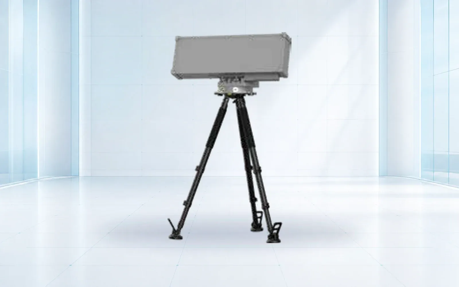
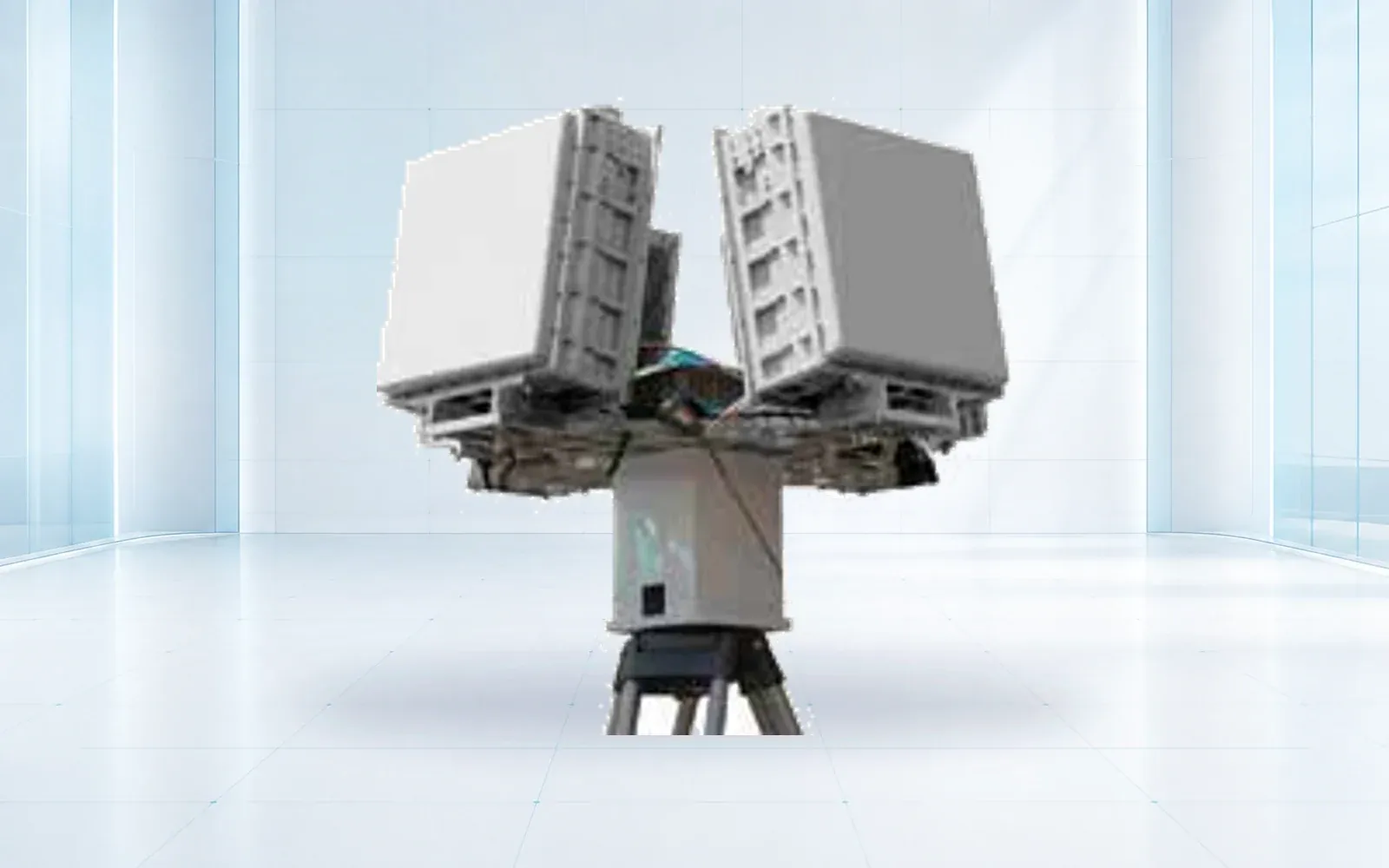
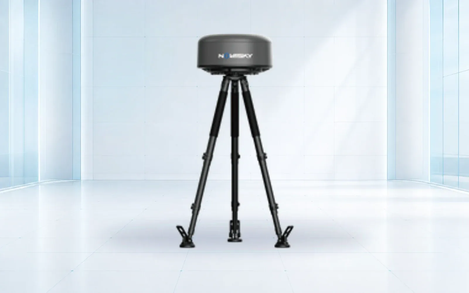
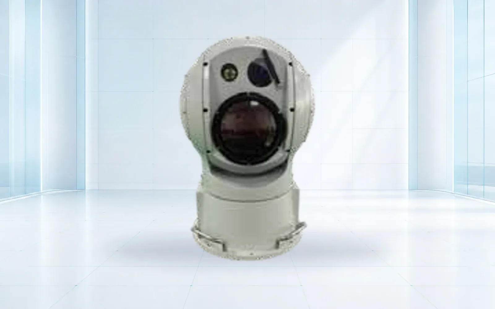
The NI-R5000+ active radar is a reference for persistent low-altitude tracks, the NI-S3000 RF detector for passive spectrum observations, and the NI-C3000 electro-optical system for visible or thermal confirmation. Exact coverage and integration depend on target, siting, spectrum, weather, lens, and configuration.
Define handoff contracts. Radar should provide track state, uncertainty, classification features, timestamp, and quality. RF should state what signal or protocol was observed and its limitations. EO cueing needs sufficient bearing, elevation, and time accuracy. Fusion should preserve original observations and explain which evidence caused a confidence change.
Keep bird, crewed-aircraft, ground-vehicle, weather, and artifact classifications probabilistic until evidence supports a decision. The system should allow “unknown” and “uncertain” rather than forcing every track into drone or non-drone.

Site Sensors Without Creating Aviation or Spectrum Hazards
Coordinate physical siting, radio emissions, spectrum authorization, interference analysis, structural loading, lightning protection, power, grounding, network routing, maintenance access, and cybersecurity. Review whether equipment can affect navigation, surveillance, communication, weather, or other airport systems, and whether it penetrates protected surfaces or creates line-of-sight obstructions.
FAA Order 7210.3EE, available through the FAA’s current order document, includes coordination provisions for UAS detection-only systems associated with air traffic facilities. Project teams should work through the current FAA process rather than treating a vendor test as installation approval.
For active sensors, test emissions and interference in the installed configuration. For passive sensors, assess antenna placement, intermodulation, airport transmitters, nearby communications, and the effect of legitimate spectrum density. For EO, assess sun, lights, heat sources, haze, precipitation, vibration, privacy masks, and safe pan-tilt exclusion zones.
Create a configuration baseline for hardware, firmware, frequencies, transmit settings, antenna patterns, coordinates, alignment, time source, network, and fusion rules. A relocation or software update can change both performance and the coordination basis.
Fuse Alerts Without Claiming Identity or Intent
Correlate observations in space and time while retaining modality-specific uncertainty. A radar track and RF bearing may be consistent without proving they came from the same object. An EO image may show a small airborne object without resolving a registration mark. Fusion should increase or decrease confidence transparently, not replace evidence with a single opaque threat score.
Use states such as uncorrelated observation, candidate track, multi-sensor correlated, visually consistent with UAS, Remote ID associated, lost, re-acquired, and resolved. Keep authorization and threat assessment as separate fields owned by the appropriate operational or investigative process.
Measure nuisance workload. Birds, general aviation, airport vehicles, construction, reflections, and network artifacts can create candidates. Track alerts per hour, operator review time, rejected causes, repeated duplicates, and confidence calibration. A nominal high detection probability has little value if operators cannot find the important event among nuisance alarms.
Preserve evidence with synchronized timestamps, original sensor data where policy allows, processing and model versions, operator annotations, communications, and disposition. Apply privacy, cybersecurity, access, and retention controls appropriate to airport and law-enforcement partners.
Build the Airport-to-Agency Response Workflow
Define who receives the first alert, who verifies sensor health, who advises airport operations and air traffic, who contacts law enforcement, what information can be shared, and who closes the event. The workflow should support time-critical action without asking a sensor operator to make legal or air-traffic decisions outside their role.
Build message templates for unverified report, sensor candidate, correlated track, visual confirmation, Remote ID association, lost track, system degradation, and resolved event. Each message should include time, location and uncertainty, direction, altitude basis where available, evidence, current state, and contact point. Avoid “hostile drone” unless an authorized assessment establishes it.
FAA’s Section 383 page describes airport safety and airspace hazard mitigation and enforcement work, while its counter-UAS resources provide the broader federal context. Use current agency procedures and agreements; authority and programs can change faster than hardware.
Exercise the workflow with airport operations, air traffic, law enforcement, fire or emergency management where relevant, legal counsel, communications, and federal partners. A technically correct alarm that reaches the wrong recipient or lacks a usable location is a system failure.
Test Detection, Nuisance Rate, Latency, and Degraded Modes
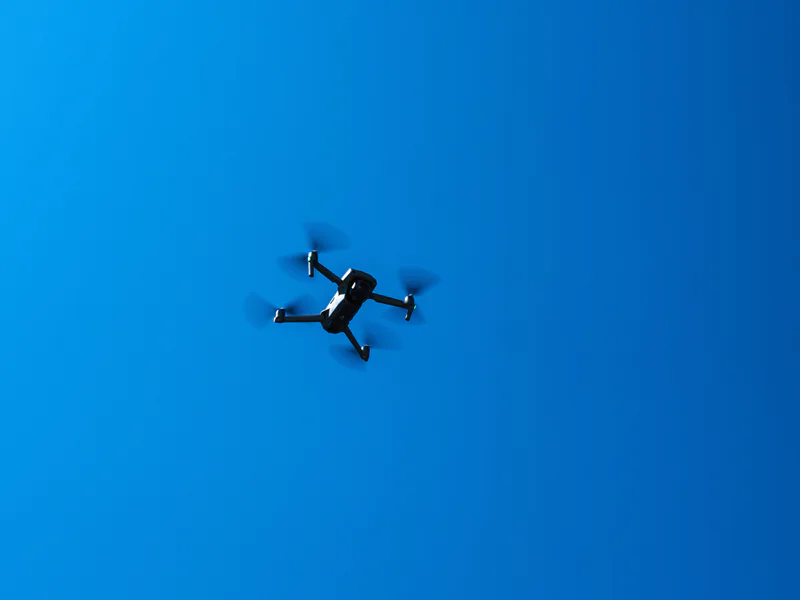
Create a test plan approved for the airport environment. Use lawful targets, routes, Remote ID states, RF modes, sizes, materials, speeds, altitudes, backgrounds, and trajectories representing the requirement. Include birds and legitimate air or ground activity as non-target conditions. Never introduce a test flight into controlled or protected airspace without authorization.
Score probability of detection by target and sector, track continuity, location and altitude uncertainty, classification, RF and Remote ID coverage, EO acquisition, fusion latency, nuisance alarms per operating time, operator workload, message delivery, and response time. Report weather, clutter, airport state, and sensor configuration with results.
Exercise sensor outage, time drift, network loss, active-sensor shutdown, corrupted or absent Remote ID, RF-silent target, EO obscuration, duplicated tracks, wrong correlation, power transition, software restart, and loss of a responding-agency connection. Confirm the system clearly communicates degraded coverage.
Acceptance should name the tested envelope, known blind zones, response limitations, maintenance, cybersecurity review, retest triggers, and coordination documents. For an airport-specific design, review the counter-UAS portfolio, layered counter-UAS site design guide, and technical resources, then contact OMNI UXV with the airport map, decisions, targets, authority matrix, and test constraints.
FAQs
Can an airport install a drone detection system on its own?
An airport should coordinate the proposed detection-only system with the FAA and relevant air traffic and spectrum stakeholders before procurement or installation. Equipment siting, emissions, interference, information sharing, and response procedures can affect aviation operations.
Does detecting a drone identify its operator or intent?
No. A sensor may observe a track, radio signal, Remote ID message, or image, but detection alone does not establish operator identity, authorization, intent, or threat. Those require additional evidence and authorized investigation.
Can an airport jam or take control of a detected drone?
Airports and ordinary private entities do not gain mitigation authority by buying detection equipment. FAA guidance supports mitigation only by federal departments with explicit statutory authority, under their applicable rules and coordination.
What should an airport drone detection acceptance test measure?
Measure detection and track performance by target and sector, nuisance rate, sensor and fusion latency, Remote ID and RF limits, visual confirmation, aviation interference, degraded modes, message delivery, operator interpretation, and multi-agency response drills.